Ishimbay night lights from space
Night Light of Ishimbay (Bashkortostan Republic) from space (Russia) Src. Average luminocity for 10x10km area is 21.4312% and for 50x50km: 6.4175%.
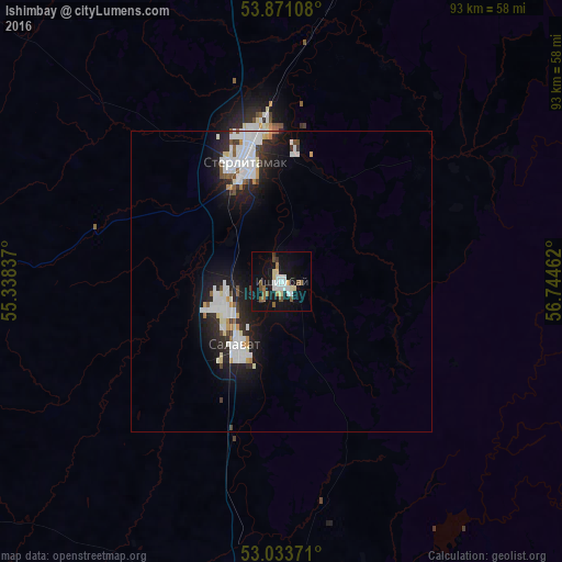
Analysis of Ishimbay night lights 2016
Square area 10x10 km:
 3.44%
3.44%90-99
4.37%80-89
2.78%70-79
0.53%60-69
2.51%50-59
3.57%40-49
2.12%30-39
1.06%20-29
0%10-19
30.56%0-9
49.07%Square area 50x50 km:
1.71%90-99
1.63%80-89
0.42%70-79
0.39%60-69
0.29%50-59
0.45%40-49
0.47%30-39
0.47%20-29
1.8%10-19
5.46%0-9
86.92%Clear (daylight) street map image can be seen on geolist.org.
Map coordinates:
53° 52' 15.9" North, 55° 20' 18.1" East
53° 27' 16.1" North, 56° 2' 29.4" East
53° 2' 1.4" North, 56° 44' 40.6" East
Some cities around Ishimbay sort by population:
• Sterlitamak
19.9 km =12.4 mi,  342°
342°
• Salavat
11.9 km =7.4 mi,  228°
228°
• Meleuz
54.9 km =34.1 mi,  187°
187°
• Kumertau
78.4 km =48.7 mi, 192°
• Tolbazy
64.2 km =39.9 mi,  350°
350°
• Yermolayevo
83.6 km =51.9 mi, 191°
• Sterlibashevo
51.9 km =32.2 mi,  267°
267°
• Yumaguzino
65.5 km =40.7 mi,  159°
159°
555980 (p: 70,421)
Sources (retrieved 2019-11-25):
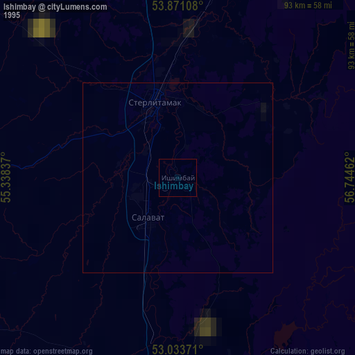
» NASA, Earths city lights 1995
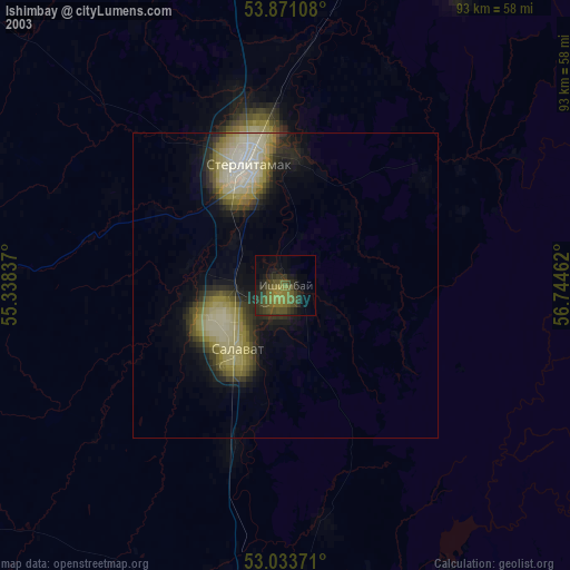
» NASA city lights 2003
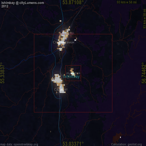
» Earth at Night: Flat Maps 2012, 2016