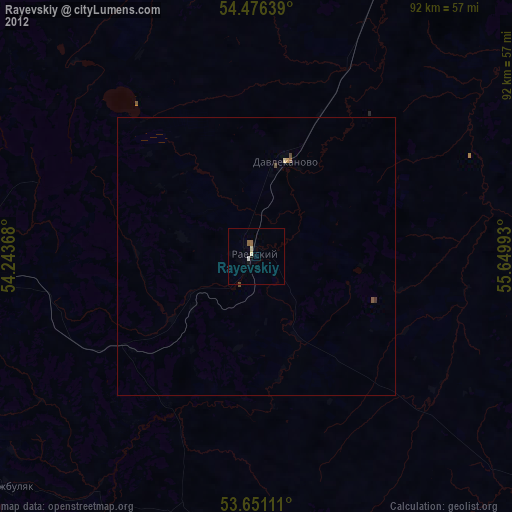
Rayevskiy night lights from space
Night Light of Rayevskiy (Bashkortostan Republic) from space (Russia) Src. Average luminocity for 10x10km area is 4.226% and for 50x50km: 0.694%.
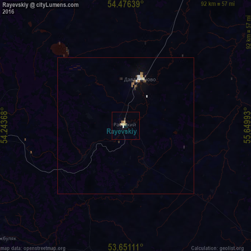
Analysis of Rayevskiy night lights 2016
Square area 10x10 km:
 0.25%
0.25%90-99
0.76%80-89
1.52%70-79
0.13%60-69
0.38%50-59
0.76%40-49
0.76%30-39
0.51%20-29
0%10-19
0%0-9
94.95%Square area 50x50 km:
0.08%90-99
0.12%80-89
0.1%70-79
0.04%60-69
0.11%50-59
0.08%40-49
0.13%30-39
0.13%20-29
0.05%10-19
0.07%0-9
99.11%Clear (daylight) street map image can be seen on geolist.org.
Map coordinates:
54° 28' 35" North, 54° 14' 37.2" East
54° 3' 56.9" North, 54° 56' 48.5" East
53° 39' 4" North, 55° 38' 59.7" East
Some cities around Rayevskiy sort by population:
• Belebey
54.4 km =33.8 mi,  275°
275°
• Davlekanovo
18.2 km =11.3 mi,  18°
18°
• Chishmy
63.2 km =39.3 mi,  26°
26°
• Priyutovo
68.8 km =42.8 mi,  254°
254°
• Tolbazy
61.3 km =38.1 mi,  94°
94°
• Buzdyak
63 km =39.1 mi,  335°
335°
• Kirgiz-Miyaki
49.2 km =30.6 mi,  191°
191°
• Bizhbulyak
60.7 km =37.7 mi,  227°
227°
502540 (p: 20,060)
Sources (retrieved 2019-11-25):
» Earth at Night: Flat Maps 2012, 2016