Korocha night lights from space
Night Light of Korocha (Belgorod Oblast) from space (Russia) Src. Average luminocity for 10x10km area is 8.4874% and for 50x50km: 0.3786%.
Analysis of Korocha night lights 2016
Square area 10x10 km:
 0.98%
0.98%90-99
1.82%80-89
0%70-79
1.68%60-69
0.56%50-59
2.1%40-49
2.1%30-39
0.84%20-29
1.12%10-19
0%0-9
88.8%Square area 50x50 km:
0.04%90-99
0.07%80-89
0.01%70-79
0.08%60-69
0.04%50-59
0.08%40-49
0.08%30-39
0.03%20-29
0.04%10-19
0.02%0-9
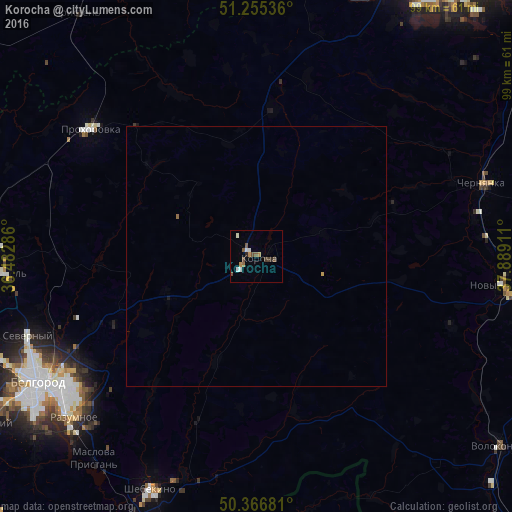
99.5%Clear (daylight) street map image can be seen on geolist.org.
Map coordinates:
51° 15' 19.3" North, 36° 28' 58.3" East
50° 48' 47.5" North, 37° 11' 9.5" East
50° 22' 0.5" North, 37° 53' 20.8" East
Some cities around Korocha sort by population:
• Belgorod
48.2 km =30 mi,  242°
242°
• Shebekino
48.8 km =30.3 mi,  203°
203°
• Novyy Oskol
48 km =29.8 mi,  96°
96°
• Stroitel’
49.5 km =30.8 mi,  266°
266°
• Razumnoye
47 km =29.2 mi,  228°
228°
• Chernyanka
45.8 km =28.5 mi,  71°
71°
• Prokhorovka
40.4 km =25.1 mi,  308°
308°
• Severnyy
47 km =29.2 mi,  251°
251°
544707 (p: 5,890)
Sources (retrieved 2019-11-25):
» Earth at Night: Flat Maps 2012, 2016