Yermolayevo night lights from space
Night Light of Yermolayevo (Bashkortostan Republic) from space (Russia) Src. Average luminocity for 10x10km area is 5.9583% and for 50x50km: 0.8219%.
Analysis of Yermolayevo night lights 2016
Square area 10x10 km:
 1.14%
1.14%90-99
0.88%80-89
0.38%70-79
1.52%60-69
0.63%50-59
0.51%40-49
0%30-39
0%20-29
0%10-19
1.89%0-9
93.06%Square area 50x50 km:
0.11%90-99
0.12%80-89
0.09%70-79
0.1%60-69
0.16%50-59
0.04%40-49
0.01%30-39
0.03%20-29
0.08%10-19
0.54%0-9
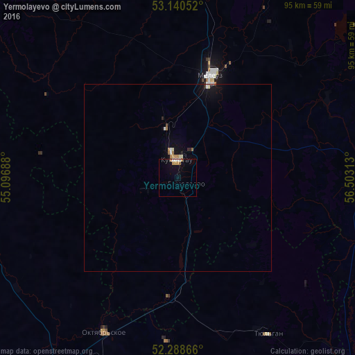
98.71%Clear (daylight) street map image can be seen on geolist.org.
Map coordinates:
53° 8' 25.9" North, 55° 5' 48.8" East
52° 43' 0" North, 55° 48' 0" East
52° 17' 19.2" North, 56° 30' 11.3" East
Some cities around Yermolayevo sort by population:
• Salavat
74.5 km =46.3 mi,  5°
5°
• Meleuz
29 km =18 mi,  17°
17°
• Kumertau
5.7 km =3.5 mi,  348°
348°
• Tyul’gan
48.6 km =30.2 mi,  149°
149°
• Mrakovo
55.5 km =34.5 mi,  90°
90°
• Sharlyk
74 km =46 mi,  287°
287°
• Isyangulovo
79.2 km =49.2 mi,  138°
138°
• Yumaguzino
45 km =28 mi,  62°
62°
467246 (p: 6,354)
Sources (retrieved 2019-11-25):
» Earth at Night: Flat Maps 2012, 2016