Shar’ya night lights from space
Night Light of Shar’ya (Kostroma Oblast) from space (Russia) Src. Average luminocity for 10x10km area is 23.0862% and for 50x50km: 1.0298%.
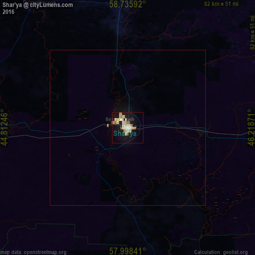
Analysis of Shar’ya night lights 2016
Square area 10x10 km:
 1.02%
1.02%90-99
5.78%80-89
7.03%70-79
3.06%60-69
3.4%50-59
0.57%40-49
0.45%30-39
0%20-29
0.57%10-19
27.55%0-9
50.57%Square area 50x50 km:
0.04%90-99
0.23%80-89
0.28%70-79
0.14%60-69
0.14%50-59
0.02%40-49
0.02%30-39
0%20-29
0.02%10-19
1.24%0-9
97.86%Clear (daylight) street map image can be seen on geolist.org.
Map coordinates:
58° 44' 9.3" North, 44° 48' 44.9" East
58° 22' 8.7" North, 45° 30' 56.1" East
57° 59' 54.3" North, 46° 13' 7.4" East
Some cities around Shar’ya sort by population:
• Shakhun’ya
100.5 km =62.4 mi,  140°
140°
• Manturovo
44.1 km =27.4 mi,  264°
264°
• Vetluzhskiy
3.7 km =2.3 mi,  308°
308°
• Uren’
102.9 km =63.9 mi,  171°
171°
• Neya
96.5 km =60 mi,  265°
265°
• Vetluga
59.2 km =36.8 mi,  164°
164°
• Makar’yev
113.9 km =70.8 mi,  241°
241°
• Leninskoye
92 km =57.2 mi,  93°
93°
495619 (p: 29,800)
Sources (retrieved 2019-11-25):
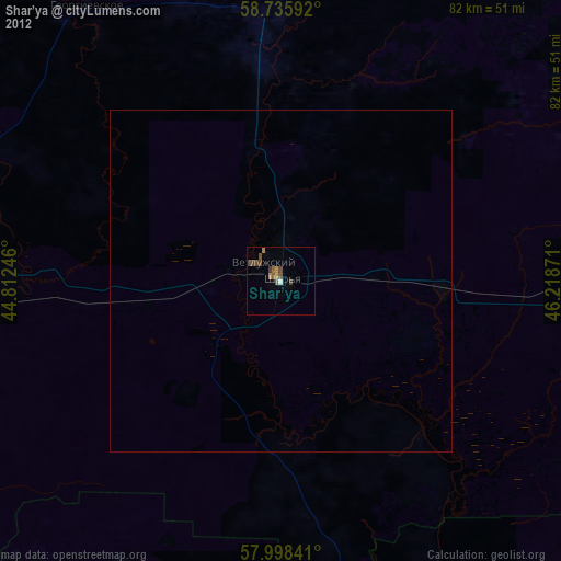
» Earth at Night: Flat Maps 2012, 2016