Leninskoye night lights from space
Night Light of Leninskoye (Kirov) from space (Russia) Src. Average luminocity for 10x10km area is 0% and for 50x50km: 0.1464%.
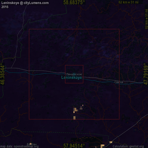
Analysis of Leninskoye night lights 2016
Square area 10x10 km:
 0%
0%90-99
0%80-89
0%70-79
0%60-69
0%50-59
0%40-49
0%30-39
0%20-29
0%10-19
0%0-9
100%Square area 50x50 km:
0%90-99
0%80-89
0%70-79
0.02%60-69
0%50-59
0.1%40-49
0.06%30-39
0%20-29
0.12%10-19
0%0-9
99.69%Clear (daylight) street map image can be seen on geolist.org.
Map coordinates:
58° 41' 1.5" North, 46° 23' 7.6" East
58° 18' 58.9" North, 47° 5' 18.8" East
57° 56' 42.5" North, 47° 47' 30.1" East
Some cities around Leninskoye sort by population:
• Shar’ya
92 km =57.2 mi,  273°
273°
• Kotel’nich
73.6 km =45.7 mi,  90°
90°
• Shakhun’ya
76.6 km =47.6 mi,  201°
201°
• Vetluzhskiy
95 km =59 mi, 274°
• Vetluga
92.4 km =57.4 mi,  236°
236°
• Orlov
107.9 km =67 mi,  76°
76°
• Darovskoy
71.3 km =44.3 mi,  44°
44°
• Tuzha
93.5 km =58.1 mi,  147°
147°
536035 (p: 5,323)
Sources (retrieved 2019-11-25):
» Earth at Night: Flat Maps 2012, 2016