Vetluga night lights from space
Night Light of Vetluga (Nizhny Novgorod Oblast) from space (Russia) Src. Average luminocity for 10x10km area is 0.75% and for 50x50km: 0.0417%.
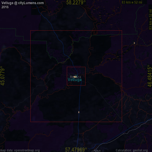
Analysis of Vetluga night lights 2016
Square area 10x10 km:
 0%
0%90-99
0%80-89
0%70-79
0%60-69
0.45%50-59
0.23%40-49
0.68%30-39
0%20-29
0%10-19
0%0-9
98.64%Square area 50x50 km:
0%90-99
0%80-89
0%70-79
0%60-69
0.04%50-59
0.01%40-49
0.03%30-39
0%20-29
0%10-19
0%0-9
99.93%Clear (daylight) street map image can be seen on geolist.org.
Map coordinates:
58° 13' 40.4" North, 45° 4' 40.4" East
57° 51' 20.7" North, 45° 46' 51.7" East
57° 28' 46.9" North, 46° 29' 2.9" East
Some cities around Vetluga sort by population:
• Shar’ya
59.2 km =36.8 mi,  344°
344°
• Shakhun’ya
53.2 km =33.1 mi,  112°
112°
• Manturovo
79.6 km =49.5 mi,  311°
311°
• Uren’
44.5 km =27.7 mi,  179°
179°
• Krasnyye Baki
88.7 km =55.1 mi,  204°
204°
• Sharanga
88 km =54.7 mi,  149°
149°
• Tonkino
67.3 km =41.8 mi,  142°
142°
• Leninskoye
92.4 km =57.4 mi,  56°
56°
473910 (p: 8,455)
Sources (retrieved 2019-11-25):
» Earth at Night: Flat Maps 2012, 2016