Makar’yev night lights from space
Night Light of Makar’yev (Kostroma Oblast) from space (Russia) Src. Average luminocity for 10x10km area is 0.219% and for 50x50km: 0.0084%.
Analysis of Makar’yev night lights 2016
Square area 10x10 km:
 0%
0%90-99
0%80-89
0%70-79
0%60-69
0%50-59
0%40-49
0.48%30-39
0%20-29
0%10-19
0%0-9
99.52%Square area 50x50 km:
0%90-99
0%80-89
0%70-79
0%60-69
0%50-59
0%40-49
0.02%30-39
0%20-29
0%10-19
0%0-9
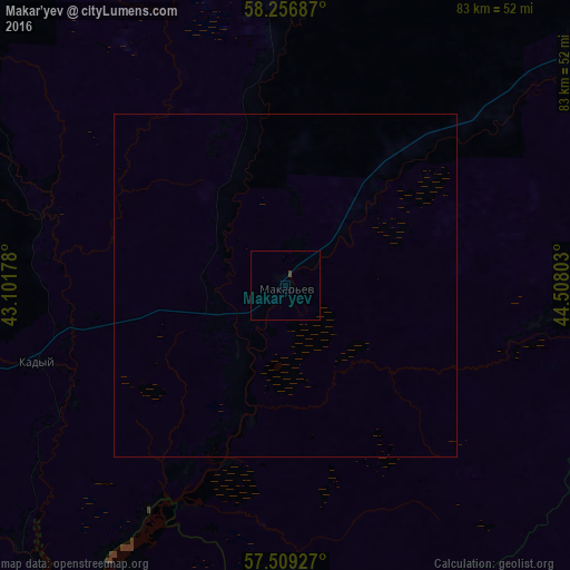
99.98%Clear (daylight) street map image can be seen on geolist.org.
Map coordinates:
58° 15' 24.7" North, 43° 6' 6.4" East
57° 53' 6" North, 43° 48' 17.6" East
57° 30' 33.4" North, 44° 30' 28.9" East
Some cities around Makar’yev sort by population:
• Manturovo
74.9 km =46.5 mi,  48°
48°
• Galich
101.7 km =63.2 mi,  302°
302°
• Yur’yevets
75.4 km =46.9 mi,  213°
213°
• Neya
46 km =28.6 mi,  4°
4°
• Puchezh
107.7 km =66.9 mi,  200°
200°
• Kovernino
84.2 km =52.3 mi,  179°
179°
• Sokol’skoye
91.3 km =56.7 mi, 205°
• Ostrovskoye
92.8 km =57.7 mi,  264°
264°
532138 (p: 7,600)
Sources (retrieved 2019-11-25):
» Earth at Night: Flat Maps 2012, 2016