Uren’ night lights from space
Night Light of Uren’ (Nizhny Novgorod Oblast) from space (Russia) Src. Average luminocity for 10x10km area is 2.6807% and for 50x50km: 0.1219%.
Analysis of Uren’ night lights 2016
Square area 10x10 km:
 0.34%
0.34%90-99
0.11%80-89
0.91%70-79
0.23%60-69
1.02%50-59
0.11%40-49
0.23%30-39
0.23%20-29
0%10-19
0%0-9
96.82%Square area 50x50 km:
0.01%90-99
0%80-89
0.04%70-79
0.01%60-69
0.06%50-59
0%40-49
0.01%30-39
0.01%20-29
0%10-19
0%0-9
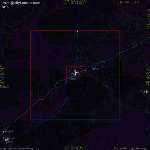
99.85%Clear (daylight) street map image can be seen on geolist.org.
Map coordinates:
57° 49' 53.3" North, 45° 4' 55.6" East
57° 27' 18.6" North, 45° 47' 6.8" East
57° 4' 29.8" North, 46° 29' 18.1" East
Some cities around Uren’ sort by population:
• Shakhun’ya
55 km =34.2 mi,  63°
63°
• Vetluga
44.5 km =27.7 mi,  359°
359°
• Krasnyye Baki
52.1 km =32.4 mi,  226°
226°
• Sharanga
54.8 km =34.1 mi,  124°
124°
• Voskresenskoye
71.9 km =44.7 mi,  197°
197°
• Sukhobezvodnoye
70.3 km =43.7 mi, 230°
• Tonkino
41.6 km =25.8 mi,  102°
102°
• Vetluzhskiy
50.6 km =31.4 mi, 231°
478757 (p: 12,309)
Sources (retrieved 2019-11-25):
» Earth at Night: Flat Maps 2012, 2016