Neya night lights from space
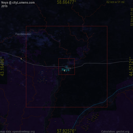
Night Light of Neya (Kostroma Oblast) from space (Russia) Src. Average luminocity for 10x10km area is 0.2721% and for 50x50km: 0.0109%.
Analysis of Neya night lights 2016
Square area 10x10 km:
 0%
0%90-99
0%80-89
0%70-79
0%60-69
0%50-59
0.45%40-49
0%30-39
0%20-29
0%10-19
0%0-9
99.55%Square area 50x50 km:
0%90-99
0%80-89
0%70-79
0%60-69
0%50-59
0.02%40-49
0%30-39
0%20-29
0%10-19
0%0-9
99.98%Clear (daylight) street map image can be seen on geolist.org.
Map coordinates:
58° 39' 53.2" North, 43° 9' 53.9" East
58° 17' 49.9" North, 43° 52' 5.1" East
57° 55' 32.7" North, 44° 34' 16.4" East
Some cities around Neya sort by population:
• Shar’ya
96.5 km =60 mi,  85°
85°
• Manturovo
52.4 km =32.6 mi, 86°
• Galich
89.3 km =55.5 mi,  275°
275°
• Vetluzhskiy
93.8 km =58.3 mi,  83°
83°
• Yur’yevets
117.7 km =73.1 mi,  202°
202°
• Makar’yev
46 km =28.6 mi,  184°
184°
• Chukhloma
85.5 km =53.1 mi,  306°
306°
• Ostrovskoye
110.1 km =68.4 mi,  240°
240°
522353 (p: 11,144)
Sources (retrieved 2019-11-25):
» Earth at Night: Flat Maps 2012, 2016