Manturovo night lights from space
Night Light of Manturovo (Kostroma Oblast) from space (Russia) Src. Average luminocity for 10x10km area is 7.9002% and for 50x50km: 0.3256%.
Analysis of Manturovo night lights 2016
Square area 10x10 km:
 0.23%
0.23%90-99
1.13%80-89
1.47%70-79
1.25%60-69
2.61%50-59
0.79%40-49
0.79%30-39
0.34%20-29
0%10-19
0%0-9
91.38%Square area 50x50 km:
0.01%90-99
0.05%80-89
0.06%70-79
0.05%60-69
0.1%50-59
0.03%40-49
0.03%30-39
0.01%20-29
0%10-19
0%0-9
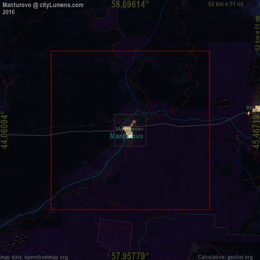
99.66%Clear (daylight) street map image can be seen on geolist.org.
Map coordinates:
58° 41' 46.1" North, 44° 3' 39.4" East
58° 19' 44" North, 44° 45' 50.6" East
57° 57' 28" North, 45° 28' 1.9" East
Some cities around Manturovo sort by population:
• Shar’ya
44.1 km =27.4 mi,  84°
84°
• Vetluzhskiy
41.5 km =25.8 mi, 80°
• Uren’
114.4 km =71.1 mi,  148°
148°
• Neya
52.4 km =32.6 mi,  266°
266°
• Vetluga
79.6 km =49.5 mi,  131°
131°
• Makar’yev
74.9 km =46.5 mi,  228°
228°
• Chukhloma
129.7 km =80.6 mi,  291°
291°
• Vetluzhskiy
130.2 km =80.9 mi,  170°
170°
529505 (p: 18,817)
Sources (retrieved 2019-11-25):
» Earth at Night: Flat Maps 2012, 2016