Vetluzhskiy night lights from space
Night Light of Vetluzhskiy (Nizhny Novgorod Oblast) from space (Russia) Src. Average luminocity for 10x10km area is 0.8262% and for 50x50km: 0.135%.
Analysis of Vetluzhskiy night lights 2016
Square area 10x10 km:
 0%
0%90-99
0%80-89
0%70-79
0%60-69
0%50-59
0.48%40-49
0.95%30-39
0%20-29
0%10-19
0%0-9
98.57%Square area 50x50 km:
0.02%90-99
0.02%80-89
0%70-79
0.02%60-69
0%50-59
0.07%40-49
0.06%30-39
0%20-29
0%10-19
0.02%0-9
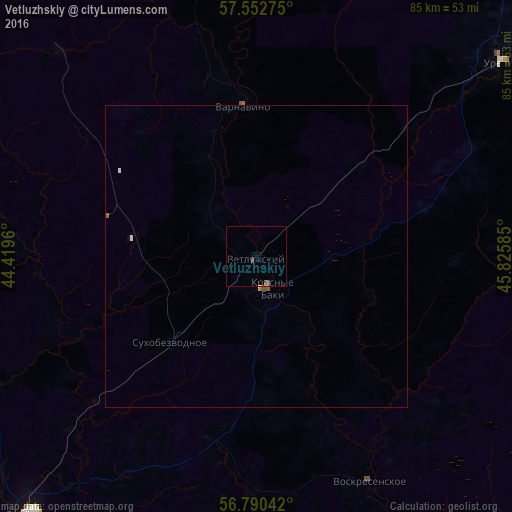
99.79%Clear (daylight) street map image can be seen on geolist.org.
Map coordinates:
57° 33' 9.9" North, 44° 25' 10.6" East
57° 10' 24.8" North, 45° 7' 21.8" East
56° 47' 25.5" North, 45° 49' 33.1" East
Some cities around Vetluzhskiy sort by population:
• Semënov
57.4 km =35.7 mi,  221°
221°
• Uren’
50.6 km =31.4 mi,  51°
51°
• Krasnyye Baki
5.2 km =3.2 mi,  154°
154°
• Kovernino
79.1 km =49.2 mi,  266°
266°
• Sharanga
85.4 km =53.1 mi,  89°
89°
• Voskresenskoye
41.7 km =25.9 mi, 153°
• Sukhobezvodnoye
19.8 km =12.3 mi,  225°
225°
• Tonkino
83.5 km =51.9 mi,  74°
74°
473904 (p: 5,340)
Sources (retrieved 2019-11-25):
» Earth at Night: Flat Maps 2012, 2016