Lyantor night lights from space
Night Light of Lyantor (Khanty-Mansia) from space (Russia) Src. Average luminocity for 10x10km area is 24.6897% and for 50x50km: 1.2661%.
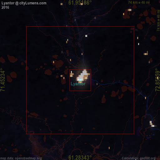
Analysis of Lyantor night lights 2016
Square area 10x10 km:
 5.73%
5.73%90-99
5.34%80-89
1.98%70-79
0.79%60-69
4.64%50-59
3.16%40-49
1.28%30-39
0.49%20-29
2.77%10-19
24.31%0-9
49.51%Square area 50x50 km:
0.26%90-99
0.23%80-89
0.08%70-79
0.03%60-69
0.26%50-59
0.19%40-49
0.05%30-39
0.04%20-29
0.12%10-19
1.34%0-9
97.4%Clear (daylight) street map image can be seen on geolist.org.
Map coordinates:
61° 57' 6.7" North, 71° 27' 8.4" East
61° 37' 10" North, 72° 9' 19.7" East
61° 17' 0.3" North, 72° 51' 30.9" East
Some cities around Lyantor sort by population:
• Surgut
78.6 km =48.8 mi,  121°
121°
• Nefteyugansk
62.5 km =38.8 mi,  157°
157°
• Pyt-Yakh
103.8 km =64.5 mi, 158°
• Poykovskiy
75.9 km =47.2 mi, 124°
• Fedorovskiy
82.4 km =51.2 mi,  91°
91°
• Nizhnesortymskiy
93.5 km =58.1 mi,  347°
347°
• Solnechniy
66.3 km =41.2 mi, 124°
• Barsovo
68.4 km =42.5 mi,  126°
126°
1541359 (p: 38,200)
Sources (retrieved 2019-11-25):
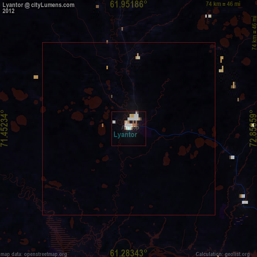
» Earth at Night: Flat Maps 2012, 2016