Pyt-Yakh night lights from space
Night Light of Pyt-Yakh (Khanty-Mansia) from space (Russia) Src. Average luminocity for 10x10km area is 29.9513% and for 50x50km: 3.3287%.
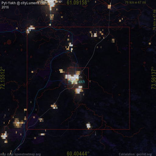
Analysis of Pyt-Yakh night lights 2016
Square area 10x10 km:
 5.63%
5.63%90-99
7.25%80-89
3.03%70-79
2.92%60-69
2.71%50-59
2.38%40-49
1.08%30-39
2.49%20-29
14.72%10-19
26.19%0-9
31.6%Square area 50x50 km:
0.56%90-99
0.72%80-89
0.24%70-79
0.27%60-69
0.31%50-59
0.45%40-49
0.33%30-39
0.37%20-29
0.76%10-19
2.14%0-9
93.87%Clear (daylight) street map image can be seen on geolist.org.
Map coordinates:
61° 5' 29.7" North, 72° 9' 18.4" East
60° 44' 59.5" North, 72° 51' 29.7" East
60° 24' 16" North, 73° 33' 40.9" East
Some cities around Pyt-Yakh sort by population:
• Surgut
63.2 km =39.3 mi,  28°
28°
• Nefteyugansk
41.3 km =25.7 mi,  340°
340°
• Lyantor
103.8 km =64.5 mi, 338°
• Poykovskiy
59.5 km =37 mi, 25°
• Fedorovskiy
105.7 km =65.7 mi, 25°
• Solnechniy
61.4 km =38.2 mi,  16°
16°
• Barsovo
58.7 km =36.5 mi, 17°
• Salym
107.6 km =66.9 mi,  224°
224°
6696686 (p: 41,500)
Sources (retrieved 2019-11-25):
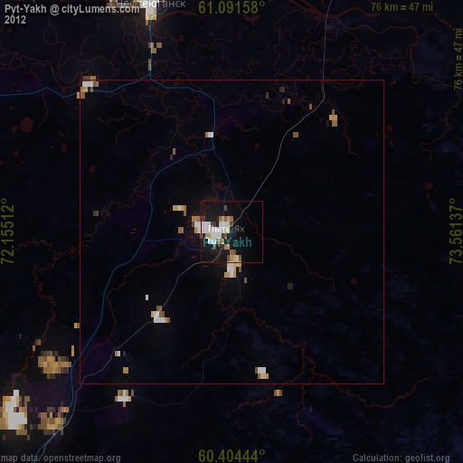
» Earth at Night: Flat Maps 2012, 2016