Nefteyugansk night lights from space
Night Light of Nefteyugansk (Khanty-Mansia) from space (Russia) Src. Average luminocity for 10x10km area is 43.4253% and for 50x50km: 5.7385%.
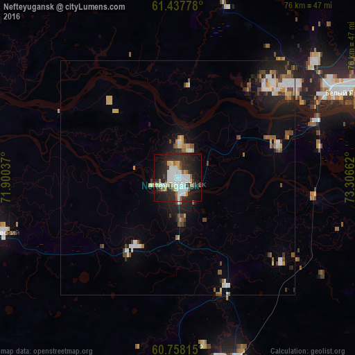
Analysis of Nefteyugansk night lights 2016
Square area 10x10 km:
 11.04%
90-99
12.23%80-89
3.57%70-79
2.71%60-69
2.81%50-59
3.79%40-49
2.06%30-39
4.65%20-29
19.91%10-19
23.81%0-9
13.42%Square area 50x50 km:
0.96%90-99
1.06%80-89
0.51%70-79
0.58%60-69
0.56%50-59
0.65%40-49
0.85%30-39
0.62%20-29
1.92%10-19
3.6%0-9
88.68%Clear (daylight) street map image can be seen on geolist.org.
Map coordinates:
61° 26' 16" North, 71° 54' 1.3" East
61° 5' 59.2" North, 72° 36' 12.6" East
60° 45' 29.3" North, 73° 18' 23.8" East
Some cities around Nefteyugansk sort by population:
• Surgut
46.7 km =29 mi,  69°
69°
• Pyt-Yakh
41.3 km =25.7 mi,  160°
160°
• Lyantor
62.5 km =38.8 mi,  337°
337°
• Poykovskiy
41.9 km =26 mi, 69°
• Fedorovskiy
81.7 km =50.8 mi,  46°
46°
• Solnechniy
36.8 km =22.9 mi,  57°
57°
• Barsovo
35.7 km =22.2 mi, 61°
• Salym
130.7 km =81.2 mi,  208°
208°
1497917 (p: 112,632)
Sources (retrieved 2019-11-25):
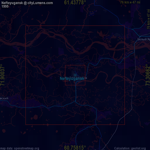
» NASA, Earths city lights 1995
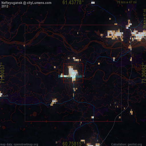
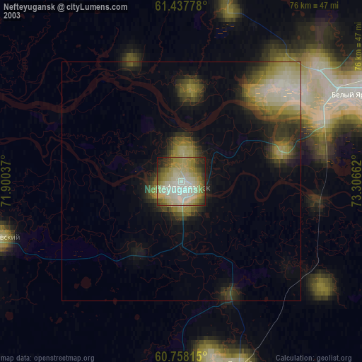
» NASA city lights 2003
» Earth at Night: Flat Maps 2012, 2016