Fedorovskiy night lights from space
Night Light of Fedorovskiy (Khanty-Mansia) from space (Russia) Src. Average luminocity for 10x10km area is 11.0899% and for 50x50km: 1.4683%.
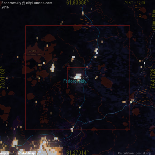
Analysis of Fedorovskiy night lights 2016
Square area 10x10 km:
 2.96%
2.96%90-99
3.36%80-89
0.4%70-79
0%60-69
0.1%50-59
0.4%40-49
0.89%30-39
0.99%20-29
0.79%10-19
7.81%0-9
82.31%Square area 50x50 km:
0.3%90-99
0.3%80-89
0.11%70-79
0.15%60-69
0.06%50-59
0.18%40-49
0.15%30-39
0.15%20-29
0.17%10-19
0.35%0-9
98.08%Clear (daylight) street map image can be seen on geolist.org.
Map coordinates:
61° 56' 19.9" North, 73° 0' 39.7" East
61° 36' 22.7" North, 73° 42' 50.9" East
61° 16' 12.5" North, 74° 25' 2.2" East
Some cities around Fedorovskiy sort by population:
• Surgut
42.7 km =26.5 mi,  201°
201°
• Nefteyugansk
81.7 km =50.8 mi,  226°
226°
• Kogalym
83.5 km =51.9 mi,  28°
28°
• Lyantor
82.4 km =51.2 mi,  271°
271°
• Poykovskiy
46.2 km =28.7 mi,  206°
206°
• Pokachi
88.2 km =54.8 mi,  81°
81°
• Solnechniy
46.1 km =28.6 mi,  217°
217°
• Barsovo
48.2 km =30 mi, 215°
11886891 (p: 23,375)
Sources (retrieved 2019-11-25):
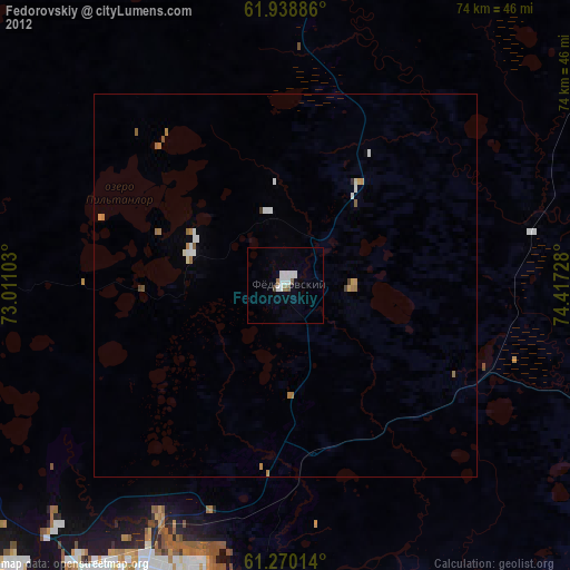
» Earth at Night: Flat Maps 2012, 2016