Kushnarënkovo night lights from space
Night Light of Kushnarënkovo (Bashkortostan Republic) from space (Russia) Src. Average luminocity for 10x10km area is 4.2431% and for 50x50km: 0.2436%.
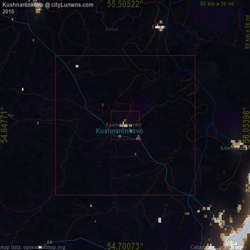
Analysis of Kushnarënkovo night lights 2016
Square area 10x10 km:
 0%
0%90-99
0%80-89
0.5%70-79
0.5%60-69
0.5%50-59
1.5%40-49
3.26%30-39
0.75%20-29
0%10-19
0%0-9
92.98%Square area 50x50 km:
0.01%90-99
0.01%80-89
0.02%70-79
0.03%60-69
0.02%50-59
0.06%40-49
0.16%30-39
0.08%20-29
0%10-19
0%0-9
99.6%Clear (daylight) street map image can be seen on geolist.org.
Map coordinates:
55° 30' 18.8" North, 54° 38' 51.8" East
55° 6' 18" North, 55° 21' 3" East
54° 42' 2.6" North, 56° 3' 14.3" East
Some cities around Kushnarënkovo sort by population:
• Ufa
56.3 km =35 mi,  135°
135°
• Birsk
37.2 km =23.1 mi,  19°
19°
• Blagoveshchensk
40.7 km =25.3 mi,  101°
101°
• Dyurtyuli
52.7 km =32.7 mi,  324°
324°
• Chishmy
58.8 km =36.5 mi,  178°
178°
• Iglino
74.2 km =46.1 mi,  114°
114°
• Chekmagush
44.3 km =27.5 mi,  273°
273°
• Yazykovo
51.4 km =31.9 mi,  75°
75°
538368 (p: 10,650)
Sources (retrieved 2019-11-25):
» Earth at Night: Flat Maps 2012, 2016