Chekmagush night lights from space
Night Light of Chekmagush (Bashkortostan Republic) from space (Russia) Src. Average luminocity for 10x10km area is 0.2657% and for 50x50km: 0.0457%.
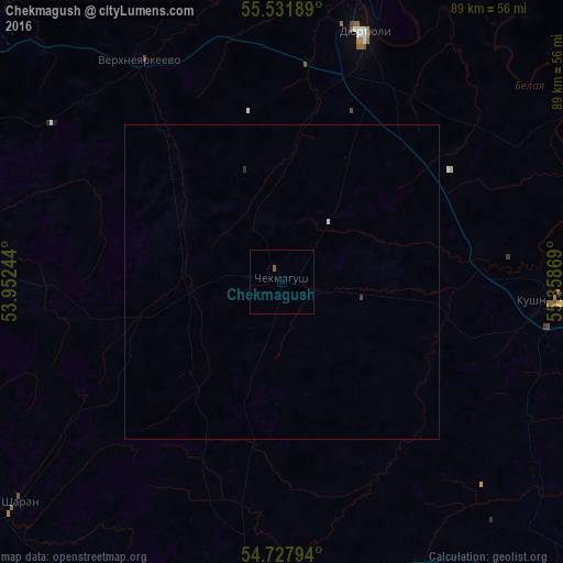
Analysis of Chekmagush night lights 2016
Square area 10x10 km:
 0%
0%90-99
0%80-89
0%70-79
0%60-69
0%50-59
0.5%40-49
0%30-39
0%20-29
0%10-19
0%0-9
99.5%Square area 50x50 km:
0.02%90-99
0%80-89
0%70-79
0%60-69
0%50-59
0.02%40-49
0%30-39
0.02%20-29
0.02%10-19
0%0-9
99.92%Clear (daylight) street map image can be seen on geolist.org.
Map coordinates:
55° 31' 54.8" North, 53° 57' 8.8" East
55° 7' 55" North, 54° 39' 20" East
54° 43' 40.6" North, 55° 21' 31.3" East
Some cities around Chekmagush sort by population:
• Birsk
64.7 km =40.2 mi,  60°
60°
• Dyurtyuli
42.1 km =26.2 mi,  18°
18°
• Kandry
71.7 km =44.6 mi,  208°
208°
• Kushnarënkovo
44.3 km =27.5 mi,  93°
93°
• Buzdyak
61.4 km =38.2 mi,  186°
186°
• Bakaly
54.4 km =33.8 mi,  275°
275°
• Verkhneyarkeyevo
41.5 km =25.8 mi,  328°
328°
• Sharan
54.6 km =33.9 mi,  230°
230°
569579 (p: 11,225)
Sources (retrieved 2019-11-25):
» Earth at Night: Flat Maps 2012, 2016