Dyurtyuli night lights from space
Night Light of Dyurtyuli (Bashkortostan Republic) from space (Russia) Src. Average luminocity for 10x10km area is 10.6454% and for 50x50km: 0.518%.
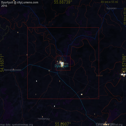
Analysis of Dyurtyuli night lights 2016
Square area 10x10 km:
 1.88%
1.88%90-99
2.13%80-89
0.13%70-79
1.38%60-69
1.88%50-59
2.63%40-49
0.5%30-39
0%20-29
0%10-19
1.63%0-9
87.84%Square area 50x50 km:
0.09%90-99
0.1%80-89
0.01%70-79
0.07%60-69
0.07%50-59
0.12%40-49
0.04%30-39
0%20-29
0.02%10-19
0.06%0-9
99.4%Clear (daylight) street map image can be seen on geolist.org.
Map coordinates:
55° 53' 14.6" North, 54° 9' 56.6" East
55° 29' 27.8" North, 54° 52' 7.8" East
55° 5' 26.5" North, 55° 34' 19.1" East
Some cities around Dyurtyuli sort by population:
• Birsk
43.2 km =26.8 mi,  100°
100°
• Agidel’
74.6 km =46.4 mi,  308°
308°
• Chekmagush
42.1 km =26.2 mi,  198°
198°
• Kushnarënkovo
52.7 km =32.7 mi,  144°
144°
• Verkhneyarkeyevo
35.2 km =21.9 mi,  262°
262°
• Burayevo
51.5 km =32 mi,  41°
41°
• Aktanysh
55.6 km =34.5 mi,  297°
297°
• Krasnokholmskiy
56.3 km =35 mi,  11°
11°
563719 (p: 31,087)
Sources (retrieved 2019-11-25):
» Earth at Night: Flat Maps 2012, 2016