Birsk night lights from space
Night Light of Birsk (Bashkortostan Republic) from space (Russia) Src. Average luminocity for 10x10km area is 5.061% and for 50x50km: 0.2089%.
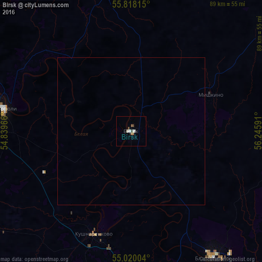
Analysis of Birsk night lights 2016
Square area 10x10 km:
 0.84%
0.84%90-99
1.44%80-89
0.12%70-79
0.48%60-69
0.96%50-59
0.48%40-49
0.84%30-39
0.12%20-29
0.12%10-19
0.36%0-9
94.26%Square area 50x50 km:
0.03%90-99
0.06%80-89
0%70-79
0.02%60-69
0.04%50-59
0.02%40-49
0.03%30-39
0%20-29
0%10-19
0.01%0-9
99.77%Clear (daylight) street map image can be seen on geolist.org.
Map coordinates:
55° 49' 5.3" North, 54° 50' 22.8" East
55° 25' 16" North, 55° 32' 34" East
55° 1' 12.1" North, 56° 14' 45.3" East
Some cities around Birsk sort by population:
• Blagoveshchensk
51 km =31.7 mi,  147°
147°
• Dyurtyuli
43.2 km =26.8 mi,  280°
280°
• Chekmagush
64.7 km =40.2 mi,  240°
240°
• Kushnarënkovo
37.2 km =23.1 mi,  199°
199°
• Burayevo
47.4 km =29.5 mi,  349°
349°
• Krasnokholmskiy
70.2 km =43.6 mi,  333°
333°
• Yazykovo
43.7 km =27.2 mi,  120°
120°
• Starobaltachevo
68.9 km =42.8 mi,  20°
20°
576317 (p: 41,014)
Sources (retrieved 2019-11-25):
» Earth at Night: Flat Maps 2012, 2016