Blagoveshchensk night lights from space
Night Light of Blagoveshchensk (Bashkortostan Republic) from space (Russia) Src. Average luminocity for 10x10km area is 11.2444% and for 50x50km: 4.236%.
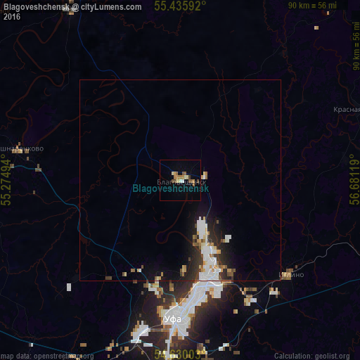
Analysis of Blagoveshchensk night lights 2016
Square area 10x10 km:
 0.25%
0.25%90-99
1.88%80-89
1.38%70-79
1.63%60-69
2.88%50-59
1.88%40-49
1.63%30-39
0.5%20-29
0%10-19
1%0-9
86.97%Square area 50x50 km:
0.85%90-99
0.89%80-89
0.32%70-79
0.45%60-69
0.4%50-59
0.44%40-49
0.34%30-39
0.67%20-29
1.25%10-19
2.29%0-9
92.12%Clear (daylight) street map image can be seen on geolist.org.
Map coordinates:
55° 26' 9.3" North, 55° 16' 29.8" East
55° 2' 6" North, 55° 58' 41" East
54° 37' 48.1" North, 56° 40' 52.3" East
Some cities around Blagoveshchensk sort by population:
• Ufa
32.5 km =20.2 mi,  181°
181°
• Birsk
51 km =31.7 mi,  327°
327°
• Asha
82.6 km =51.3 mi,  92°
92°
• Chishmy
63.9 km =39.7 mi,  217°
217°
• Iglino
35.7 km =22.2 mi,  129°
129°
• Kushnarënkovo
40.7 km =25.3 mi,  281°
281°
• Karmaskaly
75 km =46.6 mi,  169°
169°
• Yazykovo
22.9 km =14.2 mi,  25°
25°
576116 (p: 34,238)
Sources (retrieved 2019-11-25):
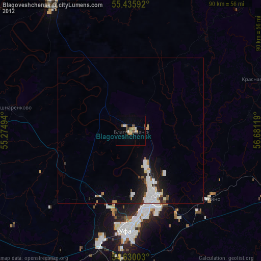
» Earth at Night: Flat Maps 2012, 2016