Kargopol’ night lights from space
Night Light of Kargopol’ (Arkhangelskaya) from space (Russia) Src. Average luminocity for 10x10km area is 0% and for 50x50km: 0%.
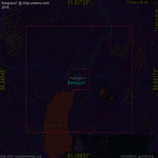
Analysis of Kargopol’ night lights 2016
Square area 10x10 km:
 0%
0%90-99
0%80-89
0%70-79
0%60-69
0%50-59
0%40-49
0%30-39
0%20-29
0%10-19
0%0-9
100%Square area 50x50 km:
0%90-99
0%80-89
0%70-79
0%60-69
0%50-59
0%40-49
0%30-39
0%20-29
0%10-19
0%0-9
100%Clear (daylight) street map image can be seen on geolist.org.
Map coordinates:
61° 50' 14.1" North, 38° 14' 43.7" East
61° 30' 12.9" North, 38° 56' 55" East
61° 9' 58.7" North, 39° 39' 6.2" East
Some cities around Kargopol’ sort by population:
• Mirnyy
157.6 km =97.9 mi,  27°
27°
• Vel’sk
175 km =108.7 mi,  105°
105°
• Nyandoma
68.7 km =42.7 mi,  74°
74°
• Konosha
91.5 km =56.9 mi,  130°
130°
• Vytegra
144.7 km =89.9 mi,  247°
247°
• Plesetsk
151 km =93.8 mi, 27°
• Pudozh
132.1 km =82.1 mi,  284°
284°
• Vozhega
133.6 km =83 mi,  149°
149°
552465 (p: 10,966)
Sources (retrieved 2019-11-25):
» Earth at Night: Flat Maps 2012, 2016