Kirillov night lights from space
Night Light of Kirillov (Vologda) from space (Russia) Src. Average luminocity for 10x10km area is 0% and for 50x50km: 0%.
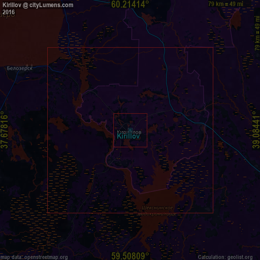
Analysis of Kirillov night lights 2016
Square area 10x10 km:
 0%
0%90-99
0%80-89
0%70-79
0%60-69
0%50-59
0%40-49
0%30-39
0%20-29
0%10-19
0%0-9
100%Square area 50x50 km:
0%90-99
0%80-89
0%70-79
0%60-69
0%50-59
0%40-49
0%30-39
0%20-29
0%10-19
0%0-9
100%Clear (daylight) street map image can be seen on geolist.org.
Map coordinates:
60° 12' 50.9" North, 37° 40' 41.4" East
59° 51' 46.8" North, 38° 22' 52.6" East
59° 30' 29.1" North, 39° 5' 3.9" East
Some cities around Kirillov sort by population:
• Cherepovets
85.6 km =53.2 mi,  198°
198°
• Sokol
107.4 km =66.7 mi,  114°
114°
• Sheksna
73 km =45.4 mi,  174°
174°
• Kaduy
101.3 km =62.9 mi,  223°
223°
• Kharovsk
101.5 km =63.1 mi,  83°
83°
• Belozërsk
36.8 km =22.9 mi,  300°
300°
• Molochnoye
96.8 km =60.1 mi,  131°
131°
• Suda
91.6 km =56.9 mi,  210°
210°
548478 (p: 7,468)
Sources (retrieved 2019-11-25):
» Earth at Night: Flat Maps 2012, 2016