Khanty-Mansiysk night lights from space
Night Light of Khanty-Mansiysk (Khanty-Mansia) from space (Russia) Src. Average luminocity for 10x10km area is 45.8027% and for 50x50km: 2.5554%.
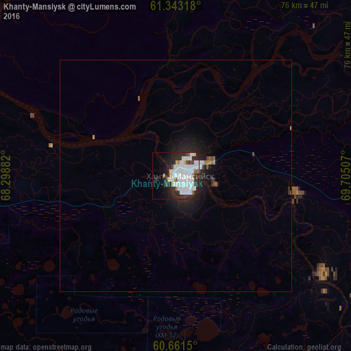
Analysis of Khanty-Mansiysk night lights 2016
Square area 10x10 km:
 20.87%
90-99
11.88%80-89
1.55%70-79
1.96%60-69
1.34%50-59
2.07%40-49
1.96%30-39
2.79%20-29
16.84%10-19
13.33%0-9
25.41%Square area 50x50 km:
0.87%90-99
0.53%80-89
0.06%70-79
0.16%60-69
0.11%50-59
0.15%40-49
0.15%30-39
0.17%20-29
1.04%10-19
2.01%0-9
94.73%Clear (daylight) street map image can be seen on geolist.org.
Map coordinates:
61° 20' 35.4" North, 68° 17' 55.8" East
61° 0' 15" North, 69° 0' 7" East
60° 39' 41.4" North, 69° 42' 18.3" East
Some cities around Khanty-Mansiysk sort by population:
• Nefteyugansk
194.1 km =120.6 mi,  86°
86°
• Pyt-Yakh
210.6 km =130.9 mi,  97°
97°
• Lyantor
181.7 km =112.9 mi,  67°
67°
• Nizhnesortymskiy
215.8 km =134.1 mi,  42°
42°
• Solnechniy
226.3 km =140.6 mi,  82°
82°
• Barsovo
226.4 km =140.7 mi, 82°
• Salym
171.2 km =106.4 mi,  127°
127°
• Gornopravdinsk
116.9 km =72.6 mi,  155°
155°
1503772 (p: 67,800)
Sources (retrieved 2019-11-25):
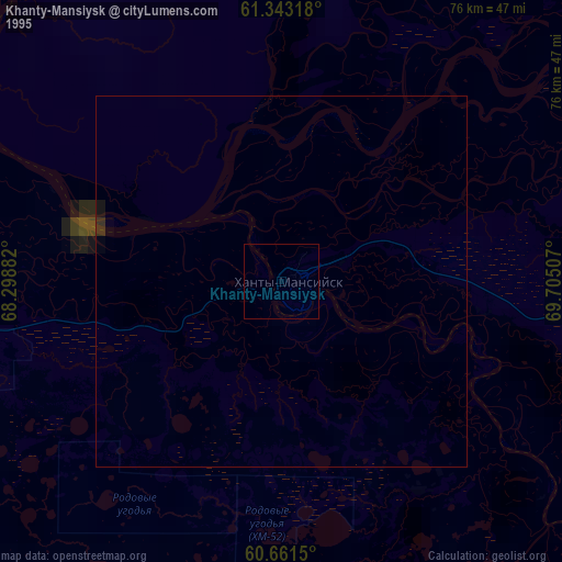
» NASA, Earths city lights 1995
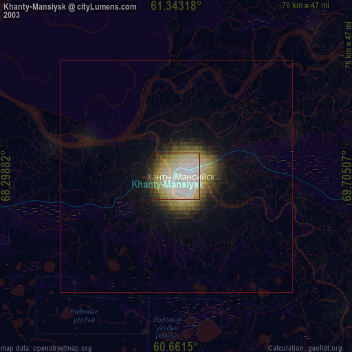
» NASA city lights 2003
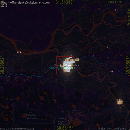
» Earth at Night: Flat Maps 2012, 2016