Gornopravdinsk night lights from space
Night Light of Gornopravdinsk (Khanty-Mansia) from space (Russia) Src. Average luminocity for 10x10km area is 4.3089% and for 50x50km: 0.2236%.
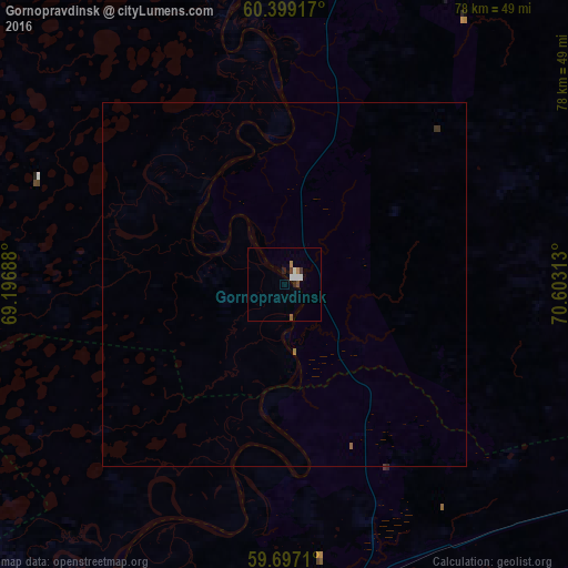
Analysis of Gornopravdinsk night lights 2016
Square area 10x10 km:
 1.14%
1.14%90-99
0.93%80-89
0%70-79
0.21%60-69
0.62%50-59
0.41%40-49
0.83%30-39
0.41%20-29
0.62%10-19
0.21%0-9
94.63%Square area 50x50 km:
0.05%90-99
0.04%80-89
0%70-79
0.01%60-69
0.04%50-59
0.03%40-49
0.03%30-39
0.06%20-29
0.04%10-19
0.01%0-9
99.69%Clear (daylight) street map image can be seen on geolist.org.
Map coordinates:
60° 23' 57" North, 69° 11' 48.8" East
60° 3' 0" North, 69° 54' 0" East
59° 41' 49.6" North, 70° 36' 11.3" East
Some cities around Gornopravdinsk sort by population:
• Nefteyugansk
188.2 km =116.9 mi,  51°
51°
• Khanty-Mansiysk
116.9 km =72.6 mi,  335°
335°
• Pyt-Yakh
180.1 km =111.9 mi,  64°
64°
• Lyantor
213 km =132.4 mi,  34°
34°
• Solnechniy
225 km =139.8 mi, 52°
• Barsovo
223.6 km =138.9 mi, 53°
• Salym
87.6 km =54.4 mi,  89°
89°
• Turtas
130.9 km =81.3 mi,  199°
199°
1506268 (p: 5,048)
Sources (retrieved 2019-11-25):
» Earth at Night: Flat Maps 2012, 2016