Kasumkent night lights from space
Night Light of Kasumkent (Dagestan) from space (Russia) Src. Average luminocity for 10x10km area is 9.6185% and for 50x50km: 2.1351%.
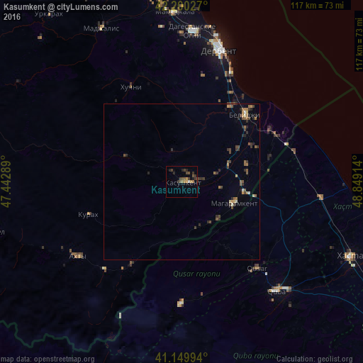
Analysis of Kasumkent night lights 2016
Square area 10x10 km:
 0%
0%90-99
0.65%80-89
0%70-79
1.95%60-69
1.95%50-59
1.95%40-49
3.73%30-39
3.41%20-29
2.44%10-19
0.81%0-9
83.12%Square area 50x50 km:
0.02%90-99
0.14%80-89
0.15%70-79
0.24%60-69
0.39%50-59
0.55%40-49
0.54%30-39
0.75%20-29
0.59%10-19
0.18%0-9
96.46%Clear (daylight) street map image can be seen on geolist.org.
Map coordinates:
42° 12' 1" North, 47° 26' 34.4" East
41° 40' 38.1" North, 48° 8' 45.6" East
41° 8' 59.8" North, 48° 50' 56.9" East
Some cities around Kasumkent sort by population:
• Derbent
45 km =28 mi,  15°
15°
• Dagestanskiye Ogni
48.9 km =30.4 mi,  4°
4°
• Quba, AZ
46.6 km =29 mi,  138°
138°
• Belidzhi
32.5 km =20.2 mi,  42°
42°
• Qusar, AZ
36.5 km =22.7 mi, 139°
• Akhty
42.1 km =26.2 mi,  234°
234°
• Xudat, AZ
44.8 km =27.8 mi,  96°
96°
• Magaramkent
18.1 km =11.2 mi,  112°
112°
551816 (p: 12,225)
Sources (retrieved 2019-11-25):
» Earth at Night: Flat Maps 2012, 2016