Dagestanskiye Ogni night lights from space
Night Light of Dagestanskiye Ogni (Dagestan) from space (Russia) Src. Average luminocity for 10x10km area is 16.553% and for 50x50km: 3.3409%.
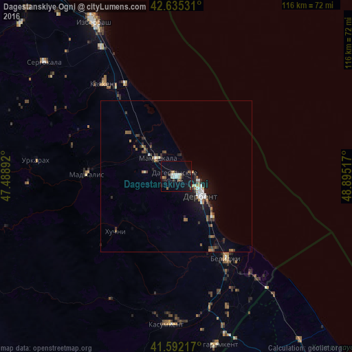
Analysis of Dagestanskiye Ogni night lights 2016
Square area 10x10 km:
 1.67%
1.67%90-99
3.03%80-89
1.52%70-79
0.76%60-69
0.76%50-59
3.48%40-49
1.36%30-39
1.97%20-29
2.73%10-19
16.36%0-9
66.36%Square area 50x50 km:
0.31%90-99
0.53%80-89
0.19%70-79
0.3%60-69
0.42%50-59
0.52%40-49
0.45%30-39
0.7%20-29
0.74%10-19
2.55%0-9
93.3%Clear (daylight) street map image can be seen on geolist.org.
Map coordinates:
42° 38' 7.1" North, 47° 29' 20.1" East
42° 6' 57.2" North, 48° 11' 31.3" East
41° 35' 31.8" North, 48° 53' 42.6" East
Some cities around Dagestanskiye Ogni sort by population:
• Derbent
9.7 km =6 mi,  123°
123°
• Belidzhi
30.9 km =19.2 mi,  143°
143°
• Kayakent
38.4 km =23.9 mi,  321°
321°
• Mamedkala
8.5 km =5.3 mi,  312°
312°
• Gedzhukh
10.6 km =6.6 mi,  277°
277°
• Madzhalis
29.6 km =18.4 mi,  271°
271°
• Novokayakent
35.2 km =21.9 mi,  331°
331°
• Urkarakh
46.6 km =29 mi, 276°
567290 (p: 27,835)
Sources (retrieved 2019-11-25):
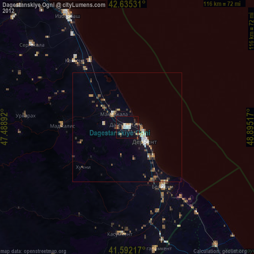
» Earth at Night: Flat Maps 2012, 2016