Quba night lights from space
Night Light of Quba from space (Azerbaijan) Src. Average luminocity for 10x10km area is 12.6156% and for 50x50km: 1.124%.
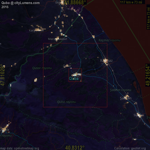
Analysis of Quba night lights 2016
Square area 10x10 km:
 1.19%
1.19%90-99
2.89%80-89
0%70-79
2.38%60-69
1.7%50-59
2.72%40-49
0.17%30-39
2.21%20-29
1.36%10-19
1.36%0-9
84.01%Square area 50x50 km:
0.06%90-99
0.2%80-89
0.03%70-79
0.19%60-69
0.14%50-59
0.26%40-49
0.09%30-39
0.32%20-29
0.19%10-19
0.16%0-9
98.35%Clear (daylight) street map image can be seen on geolist.org.
Map coordinates:
41° 53' 12" North, 47° 48' 37" East
41° 21' 39.9" North, 48° 30' 48.3" East
40° 49' 52.3" North, 49° 12' 59.5" East
Some cities around Quba sort by population:
• Xaçmaz
26.9 km =16.7 mi,  64°
64°
• Divichibazar
43.4 km =27 mi,  114°
114°
• Qusar
10.1 km =6.3 mi,  316°
316°
• Xudat
33.1 km =20.6 mi,  25°
25°
• Kasumkent, RU
46.6 km =29 mi, 318°
• Kurush, RU
57.3 km =35.6 mi,  261°
261°
• Magaramkent, RU
31.5 km =19.6 mi,  334°
334°
• Kyzyl-Burun
59.4 km =36.9 mi,  121°
121°
585221 (p: 22,405)
Sources (retrieved 2019-11-25):
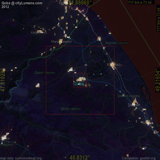
» Earth at Night: Flat Maps 2012, 2016