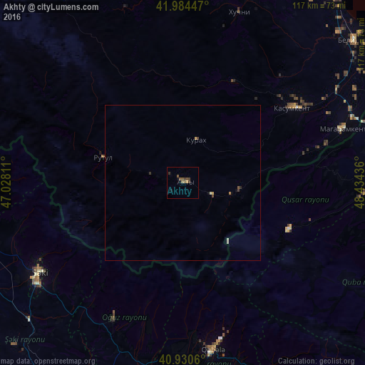
Akhty night lights from space
Night Light of Akhty (Dagestan) from space (Russia) Src. Average luminocity for 10x10km area is 4.6548% and for 50x50km: 0.3971%.
Analysis of Akhty night lights 2016
Square area 10x10 km:
 0%
0%90-99
0%80-89
0.34%70-79
0.34%60-69
1.19%50-59
2.55%40-49
1.36%30-39
1.02%20-29
0.68%10-19
1.02%0-9
91.5%Square area 50x50 km:
0%90-99
0.02%80-89
0.09%70-79
0.05%60-69
0.06%50-59
0.13%40-49
0.11%30-39
0.09%20-29
0.05%10-19
0.08%0-9
99.31%Clear (daylight) street map image can be seen on geolist.org.
Map coordinates:
41° 59' 4.1" North, 47° 1' 41.2" East
41° 27' 34.8" North, 47° 43' 52.4" East
40° 55' 50.2" North, 48° 26' 3.7" East
Some cities around Akhty sort by population:
• Sheki, AZ
55.5 km =34.5 mi,  237°
237°
• Quba, AZ
66.1 km =41.1 mi,  99°
99°
• Qusar, AZ
58.4 km =36.3 mi,  93°
93°
• Kasumkent
42.1 km =26.2 mi,  54°
54°
• Qutqashen, AZ
54 km =33.6 mi,  169°
169°
• Kurush
21.3 km =13.2 mi,  156°
156°
• Magaramkent
54.2 km =33.7 mi,  71°
71°
• Oğuz, AZ
48.6 km =30.2 mi,  207°
207°
583794 (p: 14,080)
Sources (retrieved 2019-11-25):
» Earth at Night: Flat Maps 2012, 2016