Qusar night lights from space
Night Light of Qusar from space (Azerbaijan) Src. Average luminocity for 10x10km area is 3.5918% and for 50x50km: 1.4442%.
Analysis of Qusar night lights 2016
Square area 10x10 km:
 0%
0%90-99
0.68%80-89
0%70-79
0%60-69
0.68%50-59
1.36%40-49
0.51%30-39
2.04%20-29
0.85%10-19
0.68%0-9
93.2%Square area 50x50 km:
0.05%90-99
0.26%80-89
0.19%70-79
0.17%60-69
0.18%50-59
0.32%40-49
0.18%30-39
0.36%20-29
0.18%10-19
0.1%0-9
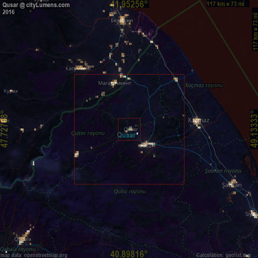
98%Clear (daylight) street map image can be seen on geolist.org.
Map coordinates:
41° 57' 9.2" North, 47° 43' 37.5" East
41° 25' 39" North, 48° 25' 48.7" East
40° 53' 53.4" North, 49° 7' 60" East
Some cities around Qusar sort by population:
• Xaçmaz
31.6 km =19.6 mi,  82°
82°
• Divichibazar
52.9 km =32.9 mi,  118°
118°
• Quba
10.1 km =6.3 mi,  136°
136°
• Belidzhi, RU
51.7 km =32.1 mi,  358°
358°
• Xudat
30.8 km =19.1 mi,  42°
42°
• Kasumkent, RU
36.5 km =22.7 mi,  319°
319°
• Kurush, RU
52.2 km =32.4 mi,  252°
252°
• Magaramkent, RU
22 km =13.7 mi,  341°
341°
585220 (p: 16,022)
Sources (retrieved 2019-11-25):
» Earth at Night: Flat Maps 2012, 2016