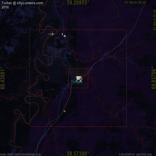
Turtas night lights from space
Night Light of Turtas (Tyumen’ Oblast) from space (Russia) Src. Average luminocity for 10x10km area is 5.5758% and for 50x50km: 0.3106%.
Analysis of Turtas night lights 2016
Square area 10x10 km:
 0.22%
0.22%90-99
1.95%80-89
0.43%70-79
0.87%60-69
1.19%50-59
0.11%40-49
0%30-39
1.08%20-29
0.65%10-19
0%0-9
93.51%Square area 50x50 km:
0.02%90-99
0.09%80-89
0.02%70-79
0.05%60-69
0.05%50-59
0%40-49
0.07%30-39
0.04%20-29
0.06%10-19
0%0-9
99.59%Clear (daylight) street map image can be seen on geolist.org.
Map coordinates:
59° 17' 58.4" North, 68° 25' 50.9" East
58° 56' 19.2" North, 69° 8' 2.1" East
58° 34' 26.3" North, 69° 50' 13.4" East
Some cities around Turtas sort by population:
• Tobol’sk
96.9 km =60.2 mi,  211°
211°
• Khanty-Mansiysk
229.8 km =142.8 mi,  358°
358°
• Abalak
95.4 km =59.3 mi,  199°
199°
• Mezhdurechenskiy
196.1 km =121.9 mi,  292°
292°
• Yarkovo
209.4 km =130.1 mi,  215°
215°
• Nizhnyaya Tavda
223 km =138.6 mi,  230°
230°
• Salym
182 km =113.1 mi,  46°
46°
• Gornopravdinsk
130.9 km =81.3 mi,  19°
19°
1540475 (p: 5,050)
Sources (retrieved 2019-11-25):
» Earth at Night: Flat Maps 2012, 2016