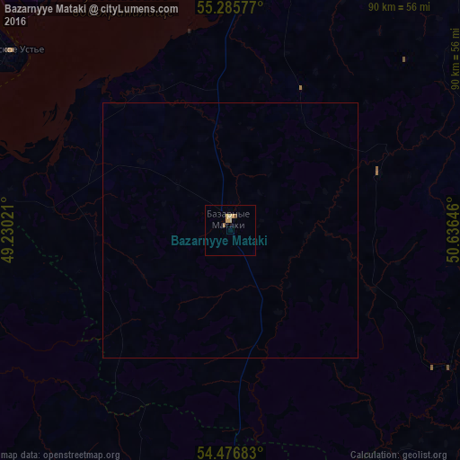
Bazarnyye Mataki night lights from space
Night Light of Bazarnyye Mataki (Tatarstan Republic) from space (Russia) Src. Average luminocity for 10x10km area is 2.7285% and for 50x50km: 0.1151%.
Analysis of Bazarnyye Mataki night lights 2016
Square area 10x10 km:
 0%
0%90-99
0%80-89
0.6%70-79
1.79%60-69
0%50-59
0.84%40-49
0.12%30-39
0%20-29
0%10-19
0%0-9
96.65%Square area 50x50 km:
0%90-99
0%80-89
0.02%70-79
0.07%60-69
0%50-59
0.03%40-49
0%30-39
0%20-29
0%10-19
0%0-9
99.86%Clear (daylight) street map image can be seen on geolist.org.
Map coordinates:
55° 17' 8.8" North, 49° 13' 48.8" East
54° 52' 60" North, 49° 55' 60" East
54° 28' 36.6" North, 50° 38' 11.3" East
Some cities around Bazarnyye Mataki sort by population:
• Chistopol’
69.8 km =43.4 mi,  40°
40°
• Nurlat
75.6 km =47 mi,  132°
132°
• Tetyushi
70.4 km =43.7 mi,  274°
274°
• Alekseyevskoye
48.5 km =30.1 mi,  13°
13°
• Bolgar
55.9 km =34.7 mi,  277°
277°
• Laishevo
62.9 km =39.1 mi,  337°
337°
• Rybnaya Sloboda
65.6 km =40.8 mi, 11°
• Staraya Mayna
71.5 km =44.4 mi,  244°
244°
578467 (p: 5,339)
Sources (retrieved 2019-11-25):
» Earth at Night: Flat Maps 2012, 2016