Alekseyevskoye night lights from space
Night Light of Alekseyevskoye (Tatarstan Republic) from space (Russia) Src. Average luminocity for 10x10km area is 0.8983% and for 50x50km: 0.4406%.
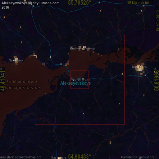
Analysis of Alekseyevskoye night lights 2016
Square area 10x10 km:
 0%
0%90-99
0%80-89
0%70-79
0%60-69
0%50-59
0%40-49
0.84%30-39
0.6%20-29
0.48%10-19
0.84%0-9
97.25%Square area 50x50 km:
0%90-99
0%80-89
0%70-79
0.05%60-69
0.11%50-59
0.05%40-49
0.14%30-39
0.12%20-29
0.38%10-19
0.38%0-9
98.77%Clear (daylight) street map image can be seen on geolist.org.
Map coordinates:
55° 42' 18.9" North, 49° 24' 37.5" East
55° 18' 25.4" North, 50° 6' 48.7" East
54° 54' 17.4" North, 50° 48' 60" East
Some cities around Alekseyevskoye sort by population:
• Kazan
82.2 km =51.1 mi,  310°
310°
• Chistopol’
34 km =21.1 mi,  79°
79°
• Bolgar
77.5 km =48.2 mi,  239°
239°
• Laishevo
37.2 km =23.1 mi,  286°
286°
• Pestretsy
57.4 km =35.7 mi,  329°
329°
• Bogatyye Saby
81 km =50.3 mi,  15°
15°
• Rybnaya Sloboda
17.2 km =10.7 mi,  5°
5°
• Bazarnyye Mataki
48.5 km =30.1 mi,  193°
193°
582775 (p: 9,738)
Sources (retrieved 2019-11-25):
» Earth at Night: Flat Maps 2012, 2016