Laishevo night lights from space
Night Light of Laishevo (Tatarstan Republic) from space (Russia) Src. Average luminocity for 10x10km area is 5.4976% and for 50x50km: 0.781%.
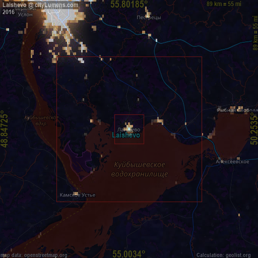
Analysis of Laishevo night lights 2016
Square area 10x10 km:
 0.24%
0.24%90-99
0.24%80-89
0.96%70-79
0.72%60-69
1.2%50-59
1.91%40-49
0.24%30-39
1.56%20-29
1.08%10-19
0%0-9
91.87%Square area 50x50 km:
0.07%90-99
0.04%80-89
0.06%70-79
0.1%60-69
0.12%50-59
0.16%40-49
0.08%30-39
0.18%20-29
0.28%10-19
0.31%0-9
98.6%Clear (daylight) street map image can be seen on geolist.org.
Map coordinates:
55° 48' 6.7" North, 48° 50' 50.1" East
55° 24' 16.7" North, 49° 33' 1.3" East
55° 0' 12.2" North, 50° 15' 12.6" East
Some cities around Laishevo sort by population:
• Kazan
50.5 km =31.4 mi,  327°
327°
• Alekseyevskoye
37.2 km =23.1 mi,  106°
106°
• Bolgar
59.1 km =36.7 mi,  211°
211°
• Vysokaya Gora
58.6 km =36.4 mi,  344°
344°
• Pestretsy
39.3 km =24.4 mi,  9°
9°
• Rybnaya Sloboda
37.8 km =23.5 mi,  80°
80°
• Staroye Arakchino
57.4 km =35.7 mi,  320°
320°
• Bazarnyye Mataki
62.9 km =39.1 mi,  157°
157°
537158 (p: 7,744)
Sources (retrieved 2019-11-25):
» Earth at Night: Flat Maps 2012, 2016