Bolgar night lights from space
Night Light of Bolgar (Tatarstan Republic) from space (Russia) Src. Average luminocity for 10x10km area is 1.4916% and for 50x50km: 0.1778%.
Analysis of Bolgar night lights 2016
Square area 10x10 km:
 0%
0%90-99
0%80-89
0%70-79
0%60-69
0%50-59
0.48%40-49
1.56%30-39
0.84%20-29
0%10-19
0.84%0-9
96.29%Square area 50x50 km:
0%90-99
0%80-89
0%70-79
0%60-69
0.04%50-59
0.06%40-49
0.09%30-39
0.04%20-29
0.14%10-19
0.07%0-9
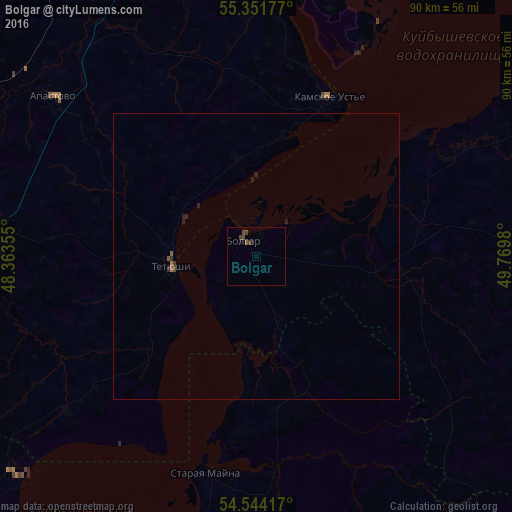
99.55%Clear (daylight) street map image can be seen on geolist.org.
Map coordinates:
55° 21' 6.4" North, 48° 21' 48.8" East
54° 57' 0" North, 49° 4' 0" East
54° 32' 39" North, 49° 46' 11.3" East
Some cities around Bolgar sort by population:
• Buinsk
49.5 km =30.8 mi,  272°
272°
• Cherdakly
67.2 km =41.8 mi,  192°
192°
• Tetyushi
14.8 km =9.2 mi,  264°
264°
• Isheyevka
77.5 km =48.2 mi,  221°
221°
• Alekseyevskoye
77.5 km =48.2 mi,  59°
59°
• Laishevo
59.1 km =36.7 mi,  31°
31°
• Staraya Mayna
39.4 km =24.5 mi, 192°
• Bazarnyye Mataki
55.9 km =34.7 mi,  97°
97°
570990 (p: 8,640)
Sources (retrieved 2019-11-25):
» Earth at Night: Flat Maps 2012, 2016