Rybnaya Sloboda night lights from space
Night Light of Rybnaya Sloboda (Tatarstan Republic) from space (Russia) Src. Average luminocity for 10x10km area is 4.1917% and for 50x50km: 0.3801%.
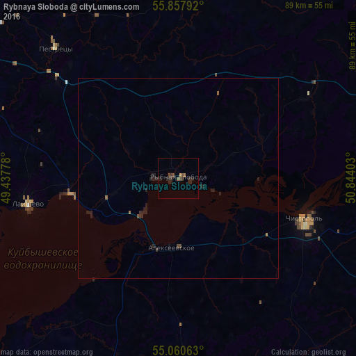
Analysis of Rybnaya Sloboda night lights 2016
Square area 10x10 km:
 0%
0%90-99
0%80-89
0%70-79
0.5%60-69
0.63%50-59
0.88%40-49
1.5%30-39
1.63%20-29
4.14%10-19
1.25%0-9
89.47%Square area 50x50 km:
0%90-99
0%80-89
0%70-79
0.03%60-69
0.06%50-59
0.06%40-49
0.11%30-39
0.12%20-29
0.37%10-19
0.37%0-9
98.86%Clear (daylight) street map image can be seen on geolist.org.
Map coordinates:
55° 51' 28.5" North, 49° 26' 16" East
55° 27' 40.6" North, 50° 8' 27.2" East
55° 3' 38.3" North, 50° 50' 38.5" East
Some cities around Rybnaya Sloboda sort by population:
• Chistopol’
33.5 km =20.8 mi,  109°
109°
• Arsk
72 km =44.7 mi,  346°
346°
• Alekseyevskoye
17.2 km =10.7 mi,  185°
185°
• Vysokaya Gora
72.7 km =45.2 mi,  313°
313°
• Laishevo
37.8 km =23.5 mi,  260°
260°
• Pestretsy
44.6 km =27.7 mi,  316°
316°
• Bogatyye Saby
64 km =39.8 mi,  17°
17°
• Bazarnyye Mataki
65.6 km =40.8 mi, 191°
499987 (p: 7,190)
Sources (retrieved 2019-11-25):
» Earth at Night: Flat Maps 2012, 2016