Chistopol’ night lights from space
Night Light of Chistopol’ (Tatarstan Republic) from space (Russia) Src. Average luminocity for 10x10km area is 13.8517% and for 50x50km: 0.6892%.
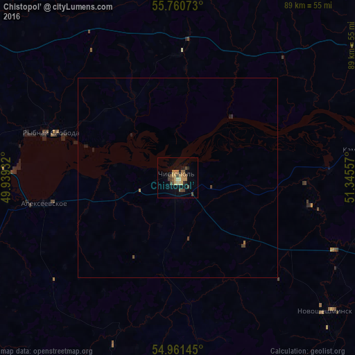
Analysis of Chistopol’ night lights 2016
Square area 10x10 km:
 0%
0%90-99
0.48%80-89
2.27%70-79
3.23%60-69
3.47%50-59
1.56%40-49
3.47%30-39
1.79%20-29
2.27%10-19
6.1%0-9
75.36%Square area 50x50 km:
0%90-99
0.02%80-89
0.09%70-79
0.14%60-69
0.17%50-59
0.06%40-49
0.23%30-39
0.09%20-29
0.15%10-19
0.31%0-9
98.74%Clear (daylight) street map image can be seen on geolist.org.
Map coordinates:
55° 45' 38.6" North, 49° 56' 21.6" East
55° 21' 47.2" North, 50° 38' 32.8" East
54° 57' 41.2" North, 51° 20' 44.1" East
Some cities around Chistopol’ sort by population:
• Nizhnekamsk
80.4 km =50 mi,  67°
67°
• Mamadysh
62.1 km =38.6 mi,  50°
50°
• Alekseyevskoye
34 km =21.1 mi,  259°
259°
• Laishevo
69.1 km =42.9 mi,  273°
273°
• Pestretsy
75.8 km =47.1 mi,  304°
304°
• Bogatyye Saby
73 km =45.4 mi,  350°
350°
• Rybnaya Sloboda
33.5 km =20.8 mi,  289°
289°
• Bazarnyye Mataki
69.8 km =43.4 mi,  220°
220°
567990 (p: 62,200)
Sources (retrieved 2019-11-25):
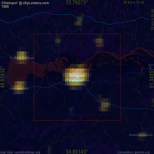
» NASA, Earths city lights 1995
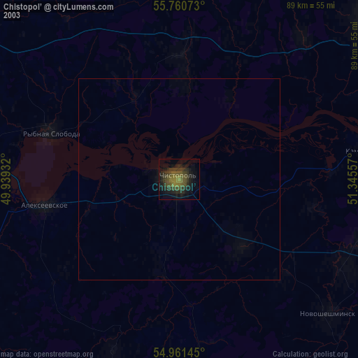
» NASA city lights 2003
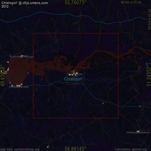
» Earth at Night: Flat Maps 2012, 2016