Kazan night lights from space
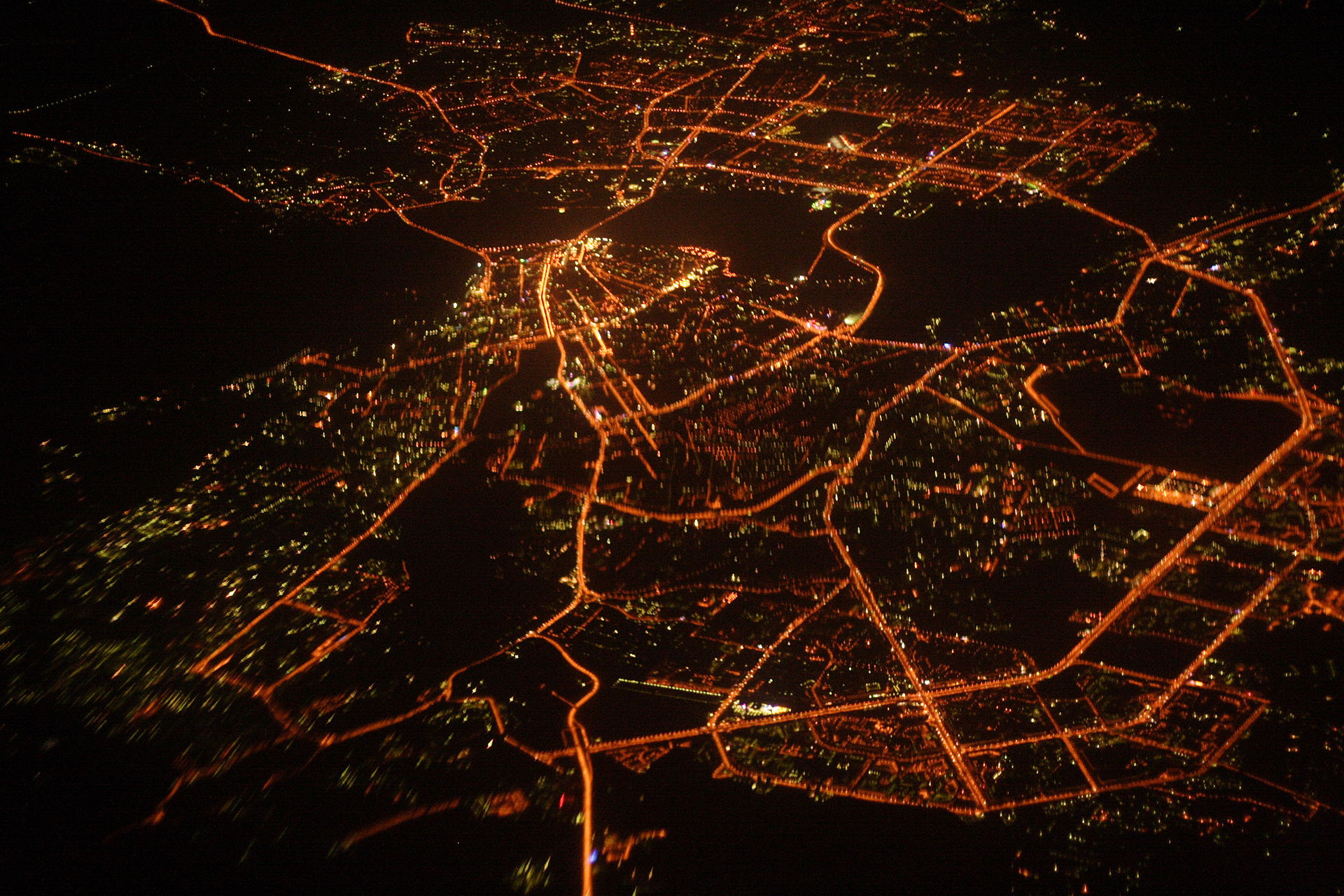
Night Light of Kazan (Tatarstan Republic) from space (Russia) Src. Average luminocity for 10x10km area is 91.506% and for 50x50km: 21.2513%.
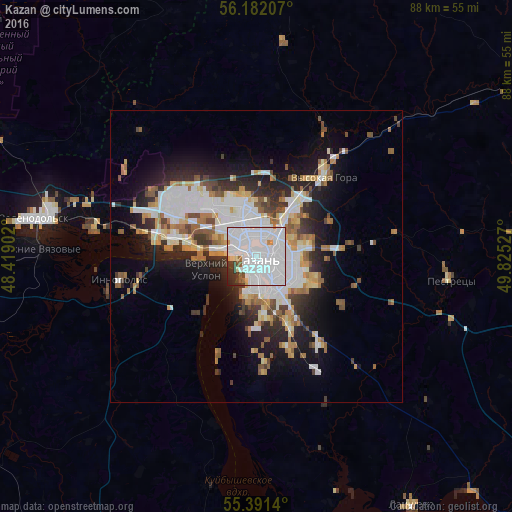
Analysis of Kazan night lights 2016
Square area 10x10 km:
 68.42%
90-99
15.55%80-89
1.79%70-79
2.03%60-69
1.2%50-59
2.39%40-49
1.32%30-39
3.83%20-29
3.11%10-19
0.36%0-9
0%Square area 50x50 km:
6.52%90-99
4.29%80-89
1.77%70-79
1.94%60-69
2.27%50-59
2.39%40-49
1.65%30-39
2.38%20-29
4.91%10-19
8.71%0-9
63.17%Clear (daylight) street map image can be seen on geolist.org.
Map coordinates:
56° 10' 55.5" North, 48° 25' 8.5" East
55° 47' 19.5" North, 49° 7' 19.7" East
55° 23' 29" North, 49° 49' 31" East
Fantastic image of Kazan from space taken by astronauts [src2], but I don't have information about it's orientation, scale or angle. If necessary, it was rotated manually, so North points approximately to upper direction. Click to zoom in:
Some cities around Kazan sort by population:
• Zelenodolsk
38.2 km =23.7 mi,  279°
279°
• Volzhsk
48.4 km =30.1 mi, 280°
• Vasil’yevo
25.7 km =16 mi, 280°
• Nizhniye Vyazovyye
37.4 km =23.2 mi,  271°
271°
• Vysokaya Gora
17.8 km =11.1 mi,  39°
39°
• Osinovo
18.2 km =11.3 mi,  304°
304°
• Pestretsy
33.5 km =20.8 mi,  96°
96°
• Staroye Arakchino
9.6 km =6 mi, 280°
551487 (p: 1,104,738)
Sources (retrieved 2019-11-25):
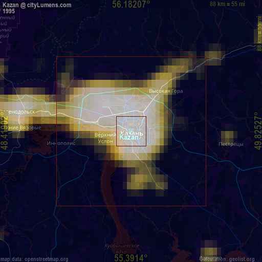
» NASA, Earths city lights 1995
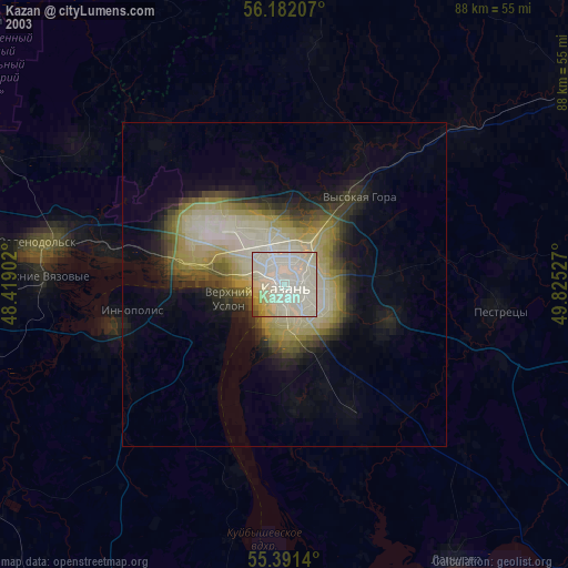
» NASA city lights 2003
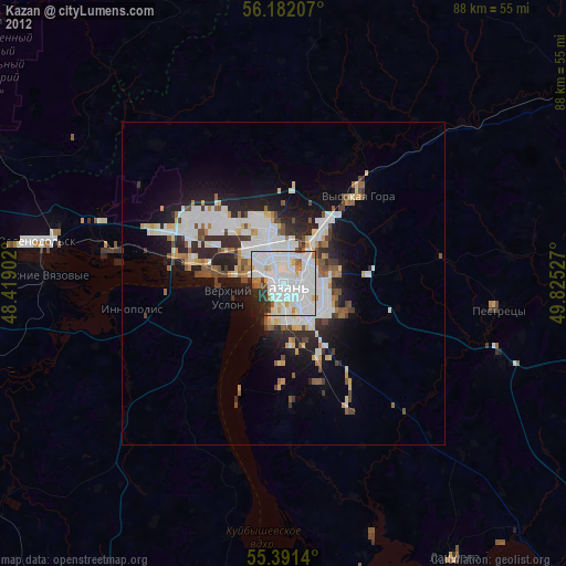
» Earth at Night: Flat Maps 2012, 2016
Src.2: Andrij Bulba, Kazan, Wikipedia