Campo night lights from space
Night Light of Campo (Porto) from space (Portugal) Src. Average luminocity for 10x10km area is 74.763% and for 50x50km: 60.4075%.
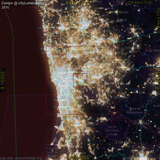
Analysis of Campo night lights 2016
Square area 10x10 km:
 16.88%
90-99
19.32%80-89
11.53%70-79
11.04%60-69
12.82%50-59
8.77%40-49
13.64%30-39
5.03%20-29
0.97%10-19
0%0-9
0%Square area 50x50 km:
14.91%90-99
12.77%80-89
7.24%70-79
9.78%60-69
11.03%50-59
8.69%40-49
6.82%30-39
5.94%20-29
6.49%10-19
6.92%0-9
9.41%Clear (daylight) street map image can be seen on geolist.org.
Map coordinates:
41° 42' 43.8" North, 9° 10' 5" West
41° 11' 6.6" North, 8° 27' 53.7" West
40° 39' 13.9" North, 7° 45' 42.5" West
Some cities around Campo sort by population:
• Gondomar
7.2 km =4.5 mi,  231°
231°
• Fânzeres
5.8 km =3.6 mi,  250°
250°
• Valongo
2.8 km =1.7 mi,  278°
278°
• São Pedro da Cova
5.5 km =3.4 mi,  212°
212°
• Baguim do Monte
6.4 km =4 mi, 276°
• Rebordosa
6.5 km =4 mi,  48°
48°
• Sobrado
2.9 km =1.8 mi,  16°
16°
• Gandra
3.2 km =2 mi,  55°
55°
2741648 (p: 8,916)
Sources (retrieved 2019-11-25):
» Earth at Night: Flat Maps 2012, 2016