Caldas da Rainha night lights from space
Night Light of Caldas da Rainha (Leiria) from space (Portugal) Src. Average luminocity for 10x10km area is 50.2364% and for 50x50km: 20.1067%.
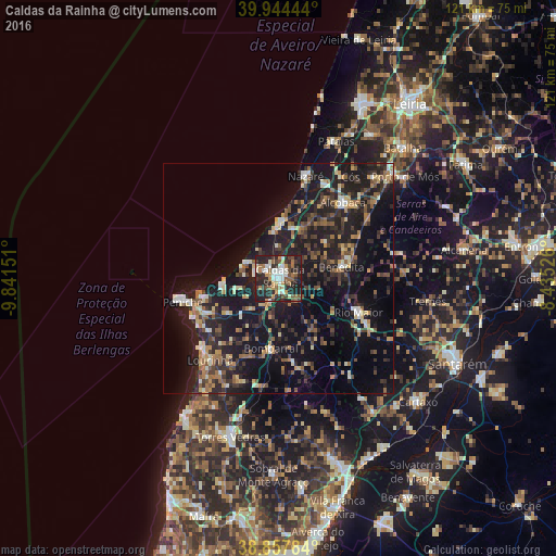
Analysis of Caldas da Rainha night lights 2016
Square area 10x10 km:
 7.48%
7.48%90-99
10.03%80-89
4.08%70-79
6.97%60-69
8.16%50-59
9.01%40-49
4.25%30-39
10.2%20-29
30.78%10-19
9.01%0-9
0%Square area 50x50 km:
1.26%90-99
2.3%80-89
2.04%70-79
2.15%60-69
3.01%50-59
3.25%40-49
2.47%30-39
4.48%20-29
9.27%10-19
23.97%0-9
45.79%Clear (daylight) street map image can be seen on geolist.org.
Map coordinates:
39° 56' 40" North, 9° 50' 29.4" West
39° 24' 11.7" North, 9° 8' 18.2" West
38° 51' 28.2" North, 8° 26' 6.9" West
Some cities around Caldas da Rainha sort by population:
• Alcobaça
21.6 km =13.4 mi,  39°
39°
• Peniche
21.5 km =13.4 mi,  255°
255°
• Rio Maior
18.6 km =11.6 mi,  113°
113°
• Óbidos
5 km =3.1 mi,  198°
198°
• Nazaré
23 km =14.3 mi,  15°
15°
• Benedita
14.7 km =9.1 mi,  80°
80°
• Atouguia da Baleia
17.7 km =11 mi,  245°
245°
• Bombarral
15.2 km =9.4 mi,  186°
186°
2270437 (p: 27,378)
Sources (retrieved 2019-11-25):
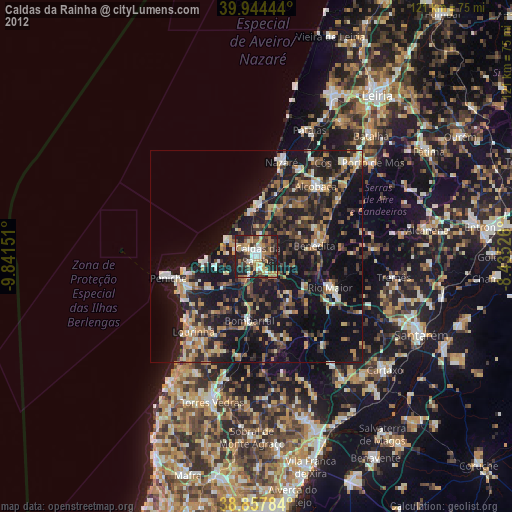
» Earth at Night: Flat Maps 2012, 2016