Bidyā night lights from space
Night Light of Bidyā (West Bank) from space (Palestinian Territory) Src. Average luminocity for 10x10km area is 68.3689% and for 50x50km: 69.1959%.
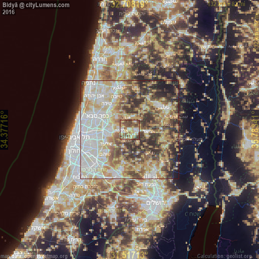
Analysis of Bidyā night lights 2016
Square area 10x10 km:
 7.52%
7.52%90-99
12.24%80-89
15.21%70-79
14.16%60-69
6.47%50-59
25.7%40-49
13.46%30-39
5.24%20-29
0%10-19
0%0-9
0%Square area 50x50 km:
15.45%90-99
16.02%80-89
14.04%70-79
10.54%60-69
6.77%50-59
8.35%40-49
10.16%30-39
8.22%20-29
7.57%10-19
2.77%0-9
0.11%Clear (daylight) street map image can be seen on geolist.org.
Map coordinates:
32° 42' 29.5" North, 34° 22' 37.8" East
32° 6' 52.6" North, 35° 4' 49" East
31° 31' 1.7" North, 35° 47' 0.3" East
Some cities around Bidyā sort by population:
• Ariel, IL
9.9 km =6.2 mi,  95°
95°
• Kafr Qāsim, IL
9.8 km =6.1 mi,  269°
269°
• Salfīt
10.1 km =6.3 mi,  109°
109°
• ‘Azzūn
7 km =4.3 mi,  342°
342°
• Oranit
8.6 km =5.3 mi,  282°
282°
• Ḩablah
11.2 km =7 mi,  300°
300°
• Banī Zayd
8.7 km =5.4 mi,  165°
165°
• Banī Zayd ash Shārqīyah
10.9 km =6.8 mi,  131°
131°
284271 (p: 8,065)
Sources (retrieved 2019-11-25):
» Earth at Night: Flat Maps 2012, 2016