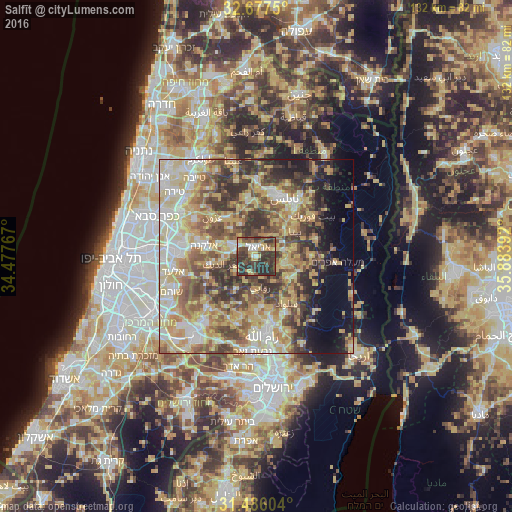
Salfīt night lights from space
Night Light of Salfīt (West Bank) from space (Palestinian Territory) Src. Average luminocity for 10x10km area is 49.2465% and for 50x50km: 55.4021%.
Analysis of Salfīt night lights 2016
Square area 10x10 km:
 3.67%
3.67%90-99
5.24%80-89
7.17%70-79
8.04%60-69
4.55%50-59
5.94%40-49
19.23%30-39
23.6%20-29
22.55%10-19
0%0-9
0%Square area 50x50 km:
7.25%90-99
9.62%80-89
12.82%70-79
10.49%60-69
6.79%50-59
8.93%40-49
10.38%30-39
8.75%20-29
8.01%10-19
6.03%0-9
10.94%Clear (daylight) street map image can be seen on geolist.org.
Map coordinates:
32° 40' 39" North, 34° 28' 39.6" East
32° 5' 1.4" North, 35° 10' 50.8" East
31° 29' 9.7" North, 35° 53' 2.1" East
Some cities around Salfīt sort by population:
• Ariel, IL
2.6 km =1.6 mi,  7°
7°
• Bidyā
10.1 km =6.3 mi,  289°
289°
• Qabalān
10.4 km =6.5 mi,  78°
78°
• Jammā‘īn
5.8 km =3.6 mi,  22°
22°
• Ḩuwwārah
10.5 km =6.5 mi,  43°
43°
• Banī Zayd
8.8 km =5.5 mi,  235°
235°
• Sinjil
9.7 km =6 mi,  125°
125°
• Banī Zayd ash Shārqīyah
4.1 km =2.5 mi,  200°
200°
282039 (p: 11,000)
Sources (retrieved 2019-11-25):
» Earth at Night: Flat Maps 2012, 2016