Bayt Ḩānūn night lights from space
Night Light of Bayt Ḩānūn (Gaza Strip) from space (Palestinian Territory) Src. Average luminocity for 10x10km area is 53.6346% and for 50x50km: 34.9359%.
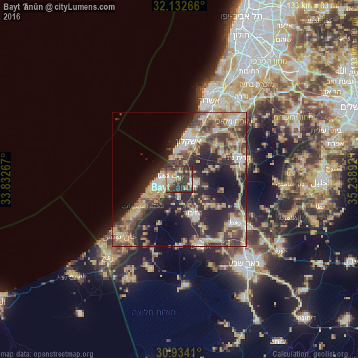
Analysis of Bayt Ḩānūn night lights 2016
Square area 10x10 km:
 4.02%
4.02%90-99
5.94%80-89
14.51%70-79
8.04%60-69
5.07%50-59
5.94%40-49
16.43%30-39
21.33%20-29
18.71%10-19
0%0-9
0%Square area 50x50 km:
3.66%90-99
4.48%80-89
6.43%70-79
7%60-69
3.56%50-59
4.49%40-49
8.01%30-39
6.79%20-29
13.14%10-19
14.23%0-9
28.21%Clear (daylight) street map image can be seen on geolist.org.
Map coordinates:
32° 7' 57.6" North, 33° 49' 57.6" East
31° 32' 7.1" North, 34° 32' 8.8" East
30° 56' 2.8" North, 35° 14' 20.1" East
Some cities around Bayt Ḩānūn sort by population:
• Gaza
7.5 km =4.7 mi,  240°
240°
• Jabālyā
5 km =3.1 mi,  259°
259°
• Ashkelon, IL
15.3 km =9.5 mi,  12°
12°
• An Nuşayrāt
16.7 km =10.4 mi,  234°
234°
• Al Burayj
16.5 km =10.3 mi, 229°
• Netivot, IL
13.5 km =8.4 mi,  157°
157°
• Sederot, IL
5.9 km =3.7 mi,  101°
101°
• Al Mughrāqah
14 km =8.7 mi, 236°
281146 (p: 37,392)
Sources (retrieved 2019-11-25):
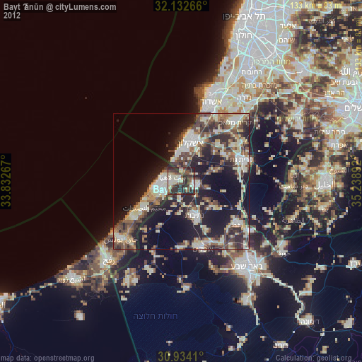
» Earth at Night: Flat Maps 2012, 2016