Ashkelon night lights from space
Night Light of Ashkelon (Southern District) from space (Israel) Src. Average luminocity for 10x10km area is 68.8791% and for 50x50km: 34.6848%.
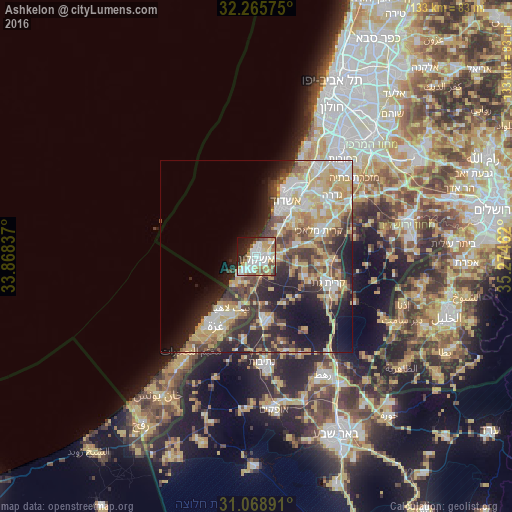
Analysis of Ashkelon night lights 2016
Square area 10x10 km:
 20.51%
90-99
17.22%80-89
12.64%70-79
6.96%60-69
5.31%50-59
8.97%40-49
5.49%30-39
3.3%20-29
11.54%10-19
6.96%0-9
1.1%Square area 50x50 km:
5.56%90-99
6.13%80-89
7.68%70-79
5.78%60-69
2.92%50-59
3.7%40-49
5.7%30-39
5.29%20-29
9.32%10-19
11.17%0-9
36.75%Clear (daylight) street map image can be seen on geolist.org.
Map coordinates:
32° 15' 56.7" North, 33° 52' 6.1" East
31° 40' 9.3" North, 34° 34' 17.4" East
31° 4' 8.1" North, 35° 16' 28.6" East
Some cities around Ashkelon sort by population:
• Ashdod
15.5 km =9.6 mi,  28°
28°
• Jabālyā, PS
17.9 km =11.1 mi,  207°
207°
• Bayt Lāhyā, PS
15.5 km =9.6 mi, 207°
• Kiryat Gat
19.4 km =12.1 mi,  109°
109°
• Bayt Ḩānūn, PS
15.3 km =9.5 mi,  192°
192°
• Gan Yavne
18.3 km =11.4 mi,  44°
44°
• Sederot
16.2 km =10.1 mi,  171°
171°
• Bnei Ayish
21.1 km =13.1 mi,  53°
53°
295620 (p: 105,995)
Sources (retrieved 2019-11-25):
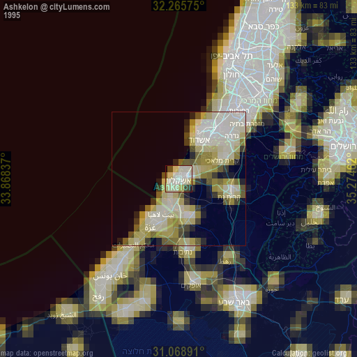
» NASA, Earths city lights 1995
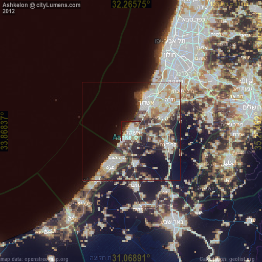
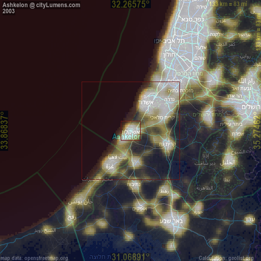
» NASA city lights 2003
» Earth at Night: Flat Maps 2012, 2016