Jabālyā night lights from space
Night Light of Jabālyā (Gaza Strip) from space (Palestinian Territory) Src. Average luminocity for 10x10km area is 68.5979% and for 50x50km: 29.9024%.
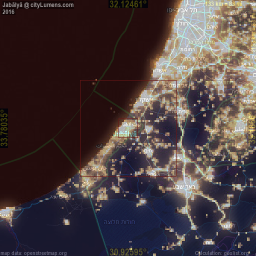
Analysis of Jabālyā night lights 2016
Square area 10x10 km:
 12.59%
90-99
17.13%80-89
18.88%70-79
9.09%60-69
6.12%50-59
4.37%40-49
8.74%30-39
11.54%20-29
9.44%10-19
2.1%0-9
0%Square area 50x50 km:
2.86%90-99
3.39%80-89
5.07%70-79
6.03%60-69
3.22%50-59
3.84%40-49
7.14%30-39
6.21%20-29
12.68%10-19
13.72%0-9
35.85%Clear (daylight) street map image can be seen on geolist.org.
Map coordinates:
32° 7' 28.6" North, 33° 46' 49.3" East
31° 31' 37.9" North, 34° 29' 0.5" East
30° 55' 33.4" North, 35° 11' 11.8" East
Some cities around Jabālyā sort by population:
• Gaza
3.3 km =2.1 mi,  209°
209°
• Bayt Lāhyā
2.4 km =1.5 mi,  27°
27°
• Bayt Ḩānūn
5 km =3.1 mi,  79°
79°
• An Nuşayrāt
12.3 km =7.6 mi,  224°
224°
• Al Burayj
12.4 km =7.7 mi, 218°
• Sederot, IL
10.8 km =6.7 mi,  91°
91°
• Az Zuwāydah
13.8 km =8.6 mi,  225°
225°
• Al Mughrāqah
9.6 km =6 mi, 224°
281129 (p: 168,568)
Sources (retrieved 2019-11-25):
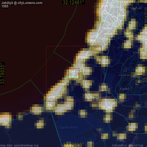
» NASA, Earths city lights 1995
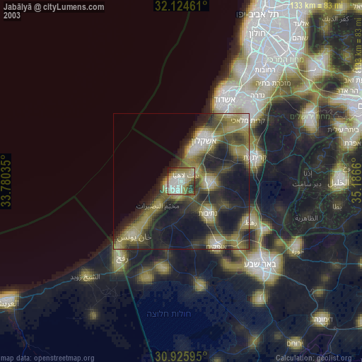
» NASA city lights 2003
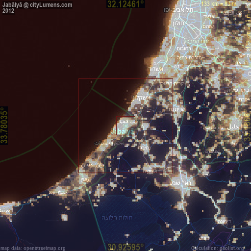
» Earth at Night: Flat Maps 2012, 2016