Candelaria Arenas night lights from space
Night Light of Candelaria Arenas (Toa Baja) from space (Puerto Rico) Src. Average luminocity for 10x10km area is 85.3058% and for 50x50km: 38.5198%.
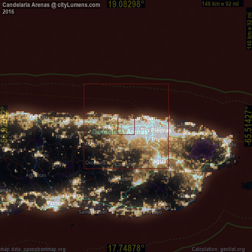
Analysis of Candelaria Arenas night lights 2016
Square area 10x10 km:
 30.37%
90-99
25.21%80-89
16.74%70-79
7.23%60-69
8.88%50-59
6.2%40-49
1.24%30-39
4.13%20-29
0%10-19
0%0-9
0%Square area 50x50 km:
10.24%90-99
5.79%80-89
4.77%70-79
5.4%60-69
6.86%50-59
4.65%40-49
4.83%30-39
5.53%20-29
7.72%10-19
9.22%0-9
34.99%Clear (daylight) street map image can be seen on geolist.org.
Map coordinates:
19° 4' 58.7" North, 66° 55' 13.9" West
18° 25' 1.8" North, 66° 13' 2.6" West
17° 44' 55.6" North, 65° 30' 51.4" West
Some cities around Candelaria Arenas sort by population:
• Bayamón
6.8 km =4.2 mi,  107°
107°
• Levittown
5.3 km =3.3 mi,  46°
46°
• Pájaros
5.4 km =3.4 mi,  179°
179°
• Campanilla
2.1 km =1.3 mi,  282°
282°
• Sabana Seca
3.6 km =2.2 mi,  72°
72°
• Ingenio
2.9 km =1.8 mi,  341°
341°
• Toa Alta
4.6 km =2.9 mi,  225°
225°
• Toa Baja
5.4 km =3.4 mi,  303°
303°
4563123 (p: 5,854)
Sources (retrieved 2019-11-25):
» Earth at Night: Flat Maps 2012, 2016