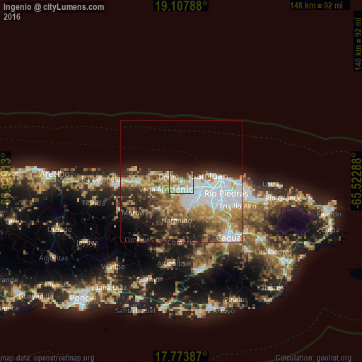
Ingenio night lights from space
Night Light of Ingenio (Toa Baja) from space (Puerto Rico) Src. Average luminocity for 10x10km area is 69.0289% and for 50x50km: 36.1511%.
Analysis of Ingenio night lights 2016
Square area 10x10 km:
 16.53%
90-99
17.98%80-89
16.12%70-79
6.82%60-69
7.44%50-59
8.26%40-49
2.48%30-39
6.2%20-29
13.22%10-19
4.96%0-9
0%Square area 50x50 km:
10%90-99
5.56%80-89
4.45%70-79
5.08%60-69
6.25%50-59
3.91%40-49
4.34%30-39
5.12%20-29
7.42%10-19
8.2%0-9
39.68%Clear (daylight) street map image can be seen on geolist.org.
Map coordinates:
19° 6' 28.4" North, 66° 55' 44.9" West
18° 26' 31.8" North, 66° 13' 33.6" West
17° 46' 25.9" North, 65° 31' 22.4" West
Some cities around Ingenio sort by population:
• Levittown
4.8 km =3 mi,  79°
79°
• Candelaria
4.6 km =2.9 mi,  156°
156°
• Dorado
4.8 km =3 mi,  292°
292°
• Campanilla
2.6 km =1.6 mi,  206°
206°
• Sabana Seca
4.7 km =2.9 mi,  111°
111°
• Candelaria Arenas
2.9 km =1.8 mi, 161°
• Toa Alta
6.4 km =4 mi,  201°
201°
• Toa Baja
3.6 km =2.2 mi,  272°
272°
4565551 (p: 5,664)
Sources (retrieved 2019-11-25):
» Earth at Night: Flat Maps 2012, 2016