Levittown night lights from space
Night Light of Levittown (Toa Baja) from space (Puerto Rico) Src. Average luminocity for 10x10km area is 65.5248% and for 50x50km: 37.2166%.
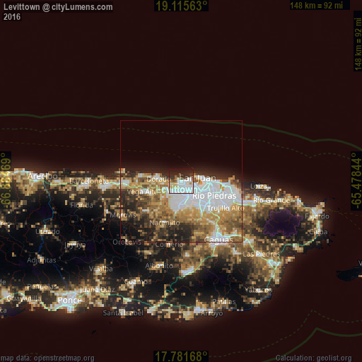
Analysis of Levittown night lights 2016
Square area 10x10 km:
 28.72%
90-99
15.7%80-89
7.23%70-79
2.48%60-69
2.89%50-59
3.31%40-49
3.51%30-39
9.09%20-29
13.84%10-19
12.81%0-9
0.41%Square area 50x50 km:
10.45%90-99
5.99%80-89
4.48%70-79
5.43%60-69
6.64%50-59
4.34%40-49
4.55%30-39
4.53%20-29
6.44%10-19
7.07%0-9
40.09%Clear (daylight) street map image can be seen on geolist.org.
Map coordinates:
19° 6' 56.3" North, 66° 53' 4.9" West
18° 26' 59.8" North, 66° 10' 53.6" West
17° 46' 54" North, 65° 28' 42.4" West
Some cities around Levittown sort by population:
• San Juan
8.2 km =5.1 mi,  77°
77°
• Bayamón
6.3 km =3.9 mi,  154°
154°
• Cataño
6.7 km =4.2 mi,  98°
98°
• Candelaria
5.9 km =3.7 mi,  209°
209°
• Campanilla
6.6 km =4.1 mi,  241°
241°
• Sabana Seca
2.6 km =1.6 mi,  187°
187°
• Candelaria Arenas
5.3 km =3.3 mi,  226°
226°
• Ingenio
4.8 km =3 mi,  259°
259°
4566002 (p: 29,785)
Sources (retrieved 2019-11-25):
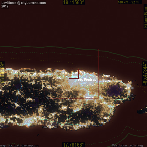
» Earth at Night: Flat Maps 2012, 2016