Campanilla night lights from space
Night Light of Campanilla (Toa Baja) from space (Puerto Rico) Src. Average luminocity for 10x10km area is 78.2624% and for 50x50km: 37.0039%.
Analysis of Campanilla night lights 2016
Square area 10x10 km:
 17.36%
90-99
20.04%80-89
18.39%70-79
10.74%60-69
14.67%50-59
10.12%40-49
3.31%30-39
4.55%20-29
0.83%10-19
0%0-9
0%Square area 50x50 km:
9.75%90-99
5.51%80-89
4.68%70-79
5.16%60-69
6.53%50-59
4.04%40-49
4.62%30-39
5.6%20-29
8.01%10-19
9.38%0-9
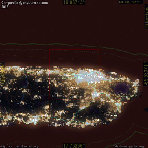
36.71%Clear (daylight) street map image can be seen on geolist.org.
Map coordinates:
19° 5' 13.7" North, 66° 56' 23.9" West
18° 25' 16.8" North, 66° 14' 12.6" West
17° 45' 10.7" North, 65° 32' 1.4" West
Some cities around Campanilla sort by population:
• Candelaria
3.5 km =2.2 mi,  122°
122°
• Dorado
5.3 km =3.3 mi,  322°
322°
• Pájaros
6.2 km =3.9 mi,  160°
160°
• Sabana Seca
5.5 km =3.4 mi,  83°
83°
• Candelaria Arenas
2.1 km =1.3 mi,  102°
102°
• Ingenio
2.6 km =1.6 mi,  26°
26°
• Toa Alta
3.9 km =2.4 mi,  198°
198°
• Toa Baja
3.5 km =2.2 mi, 316°
4563053 (p: 7,757)
Sources (retrieved 2019-11-25):
» Earth at Night: Flat Maps 2012, 2016