Zgorzelec night lights from space
Night Light of Zgorzelec (Lower Silesia) from space (Poland) Src. Average luminocity for 10x10km area is 33.0428% and for 50x50km: 3.359%.
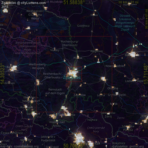
Analysis of Zgorzelec night lights 2016
Square area 10x10 km:
 7.35%
7.35%90-99
6.68%80-89
2.01%70-79
2.94%60-69
5.75%50-59
3.74%40-49
1.74%30-39
2.81%20-29
6.42%10-19
35.29%0-9
25.27%Square area 50x50 km:
0.54%90-99
0.59%80-89
0.26%70-79
0.38%60-69
0.37%50-59
0.45%40-49
0.37%30-39
0.36%20-29
0.38%10-19
2.45%0-9
93.86%Clear (daylight) street map image can be seen on geolist.org.
Map coordinates:
51° 35' 18.2" North, 14° 18' 18.8" East
51° 8' 57.9" North, 15° 0' 30.1" East
50° 42' 22.5" North, 15° 42' 41.3" East
Some cities around Zgorzelec sort by population:
• Görlitz, DE
1.5 km =0.9 mi,  294°
294°
• Lubań
19.8 km =12.3 mi,  99°
99°
• Bogatynia
27.1 km =16.8 mi,  187°
187°
• Löbau, DE
24.4 km =15.2 mi,  256°
256°
• Niesky, DE
20.6 km =12.8 mi,  320°
320°
• Frýdlant, CZ
25.8 km =16 mi,  168°
168°
• Rothenburg, DE
20.7 km =12.9 mi,  352°
352°
• Pieńsk
11.4 km =7.1 mi,  13°
13°
3080231 (p: 33,247)
Sources (retrieved 2019-11-25):
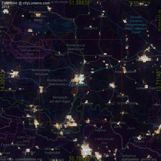
» Earth at Night: Flat Maps 2012, 2016